
Road trip games for kids

A long drive is a great time for geography: the whole country is going past the window. These seven games need nothing more than a pencil and a printout, and most need nothing at all.
1. The license plate game
Everyone looks for license plates from other states. When you spot one, tick it off on the checklist. On a long trip, see how many you can find, and color each one in on the map.
- Make it fair for little kids: play as a team, or let them spot the colors and shapes while a grown-up who isn’t driving reads the names.
- Make it harder for big kids: before you tick a state, say its capital or point to it on the map.
- Keep it going: leave the checklist in the car for the whole summer, or the whole year.
-
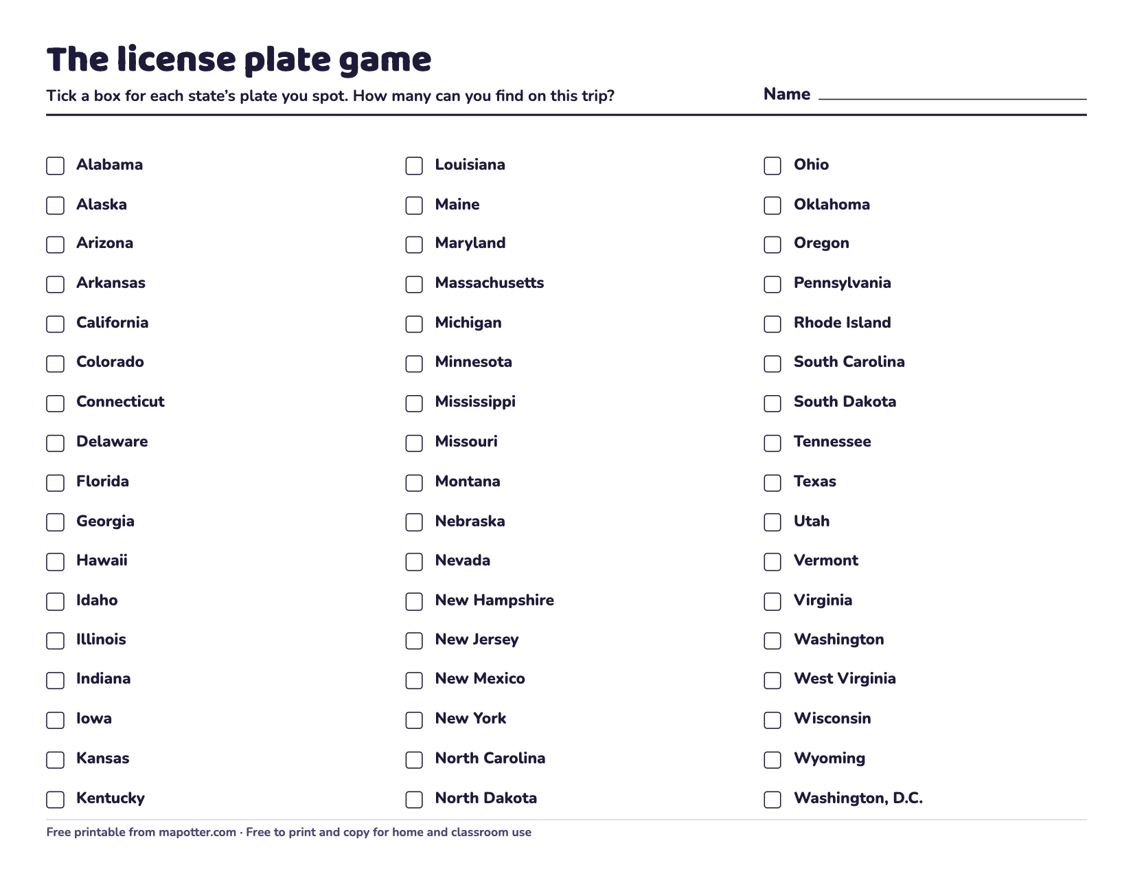
License plate game
A checklist of all 50 states and Washington, D.C. to tick off, and a blank map to color as you spot plates.
PDF · 2 pages · 87 KB · US Letter, landscape
Download the license plate game PDF
2. The alphabet hunt
Find the letters A to Z, in order, on signs, trucks and buildings outside. Q, X and Z are the hard ones. For a geography twist, only count letters in place names: towns, rivers, roads named after states.
3. Which state am I?
One person thinks of a state. The others ask yes-or-no questions: “Are you on the coast?” “Do you touch Canada?” “Is your capital the biggest city?” Ten questions to guess it. It’s the same idea as our mystery state of the day.
4. Capitals in the car
Bring the fold-over flashcards. One person reads a state, everyone else races to say the capital. Then flip them: read the capital, name the state.
5. Follow the trip on a map
Print a blank US map and draw your route as you go. Which way are you driving: north, south, east or west? Which states do you drive through, and which ones are next door? It’s map skills without anyone calling it that. See map skills for kids for more.
6. Border watch
Look out for “Welcome to …” signs at state lines. Before you cross, guess the next state, then check. Being in a state helps it stick.
7. The neighbor chain
Someone names a state. The next person names a state that touches it, and so on. No repeats! If you get stuck, you’re out. Check answers on each state’s page.
Road Trip in Map Otter
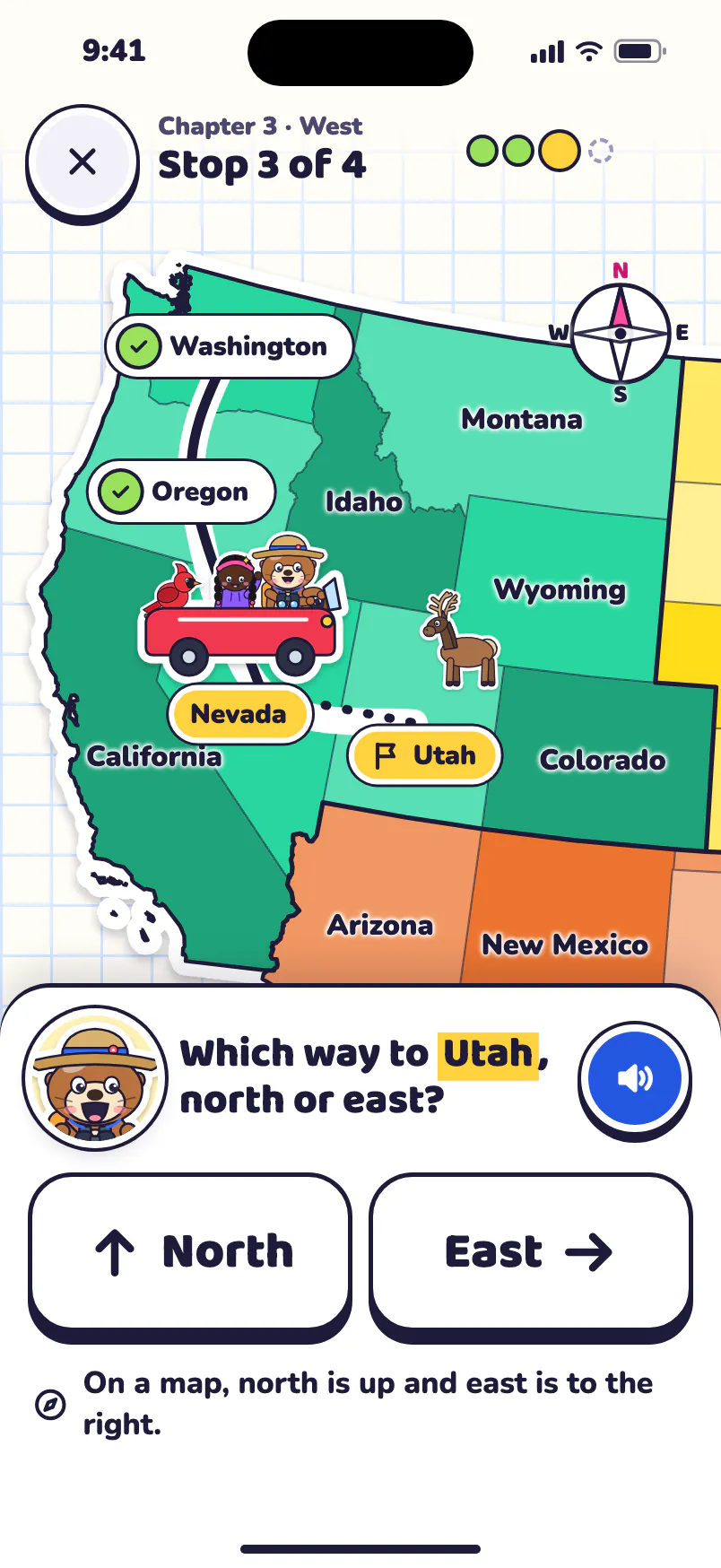
Map Otter has a Road Trip too: Otto drives across the country, one chapter for each region. At each stop there’s a question: which way to the next place, which state is next door, or spot a landmark. The United States is built into the app, so it works offline in the car, and Family Challenge lets everyone in the back seat take turns.

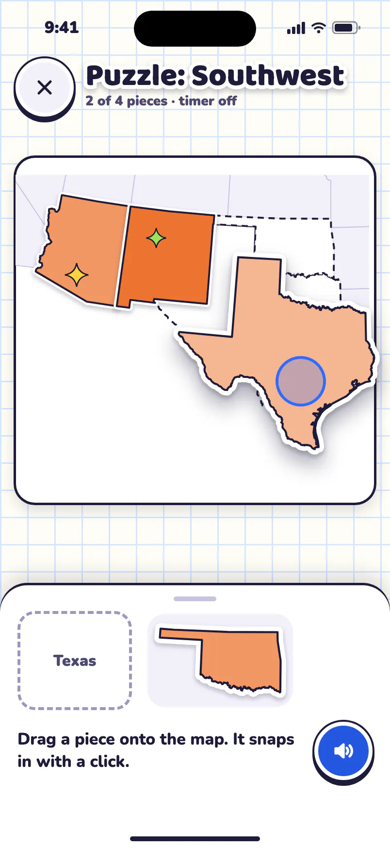
Free to try, for one kid: your home state, your home region’s games, Road Trip’s first chapter, Map Skills and the Daily Mystery. No ads, no tracking, no accounts.
Map Otter is coming soon to iPhone, iPad, Android phones and tablets, and Chromebooks.
