
The world for kids
Start with the seven continents and five oceans, then learn to read a map, find places by latitude and longitude, spot the flags, and visit a few countries.


The world and its maps
 For parents · ages 4–10
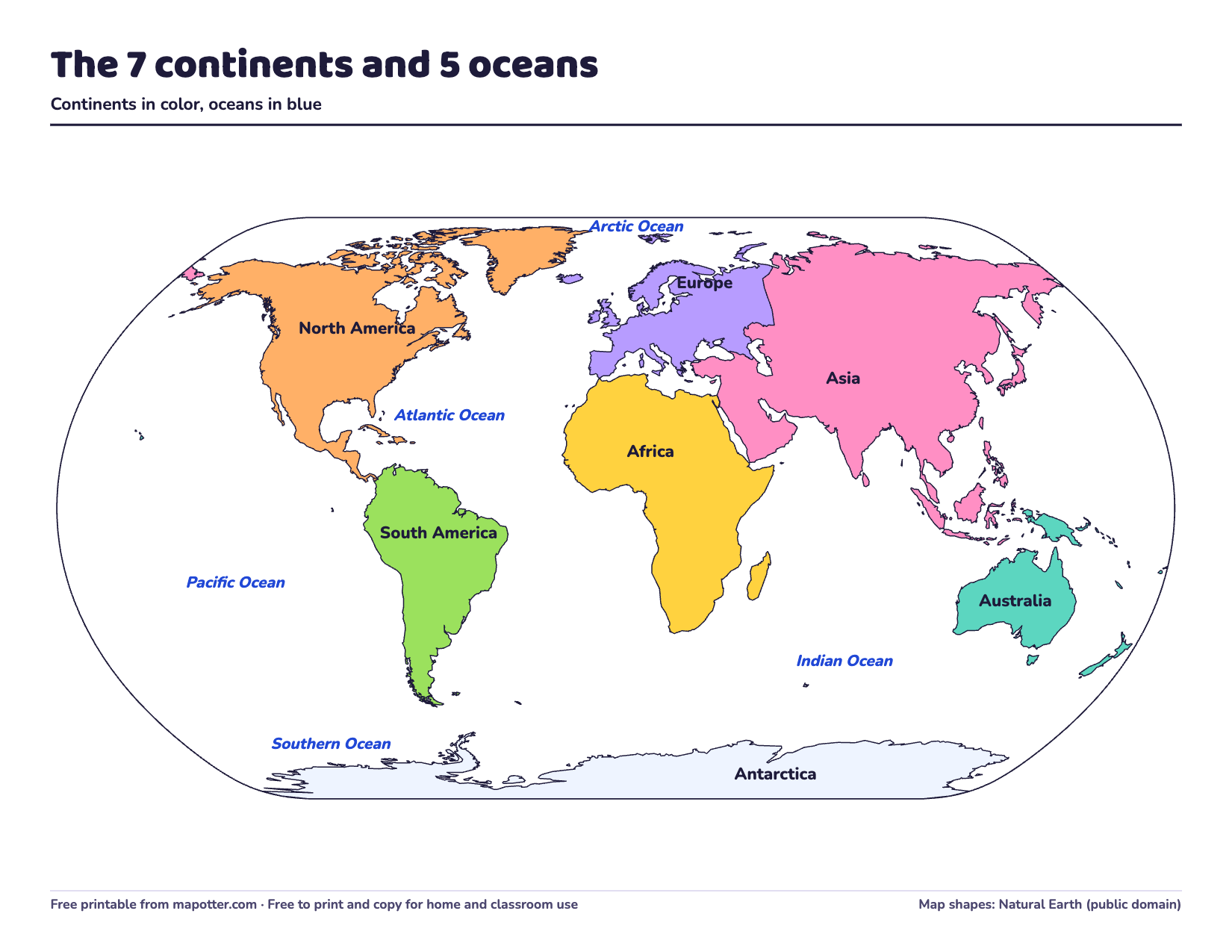
The 7 continents and 5 oceans for kids
The seven continents and five oceans, largest to smallest. There’s a fact about each, a song for remembering them, and world maps to print.
- For parents · ages 5–10
Map skills for kids: compass rose, map key and scale
The compass rose and directions, the map key, the scale and the grid, explained simply, with activities for home.
 For parents · ages 9–13
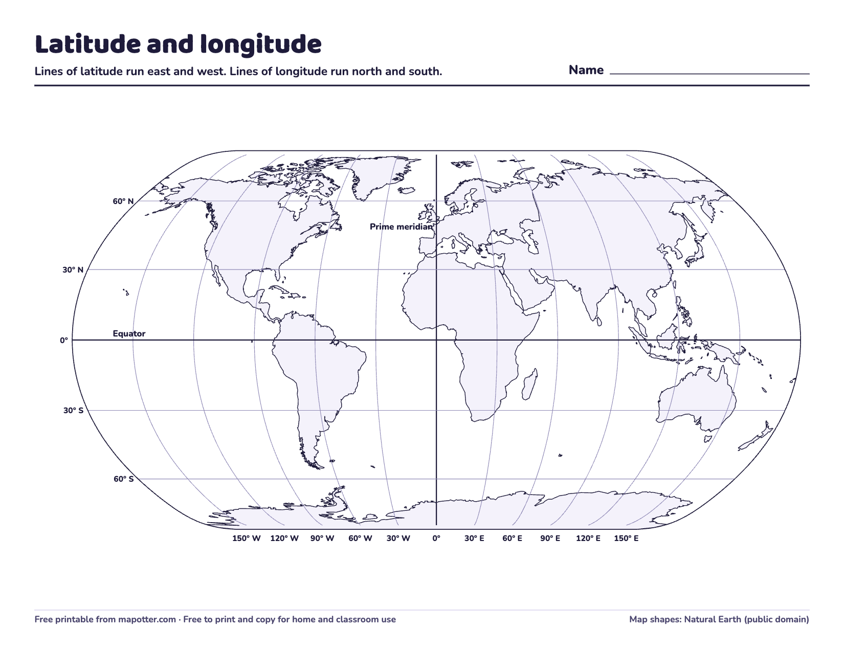
Latitude and longitude for kids
What latitude and longitude are and how to read a place’s coordinates. Plus why the prime meridian is in Greenwich, and a map with questions to print.


 Reference · ages 6–13
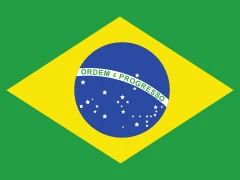
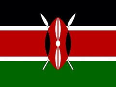
Flags of the world
198 flags of the world, by continent with their names, and tips to help kids remember them.

Country guides for kids
The provinces, countries, states and territories of Canada, the United Kingdom and Australia, with their capitals and fun facts.
 Countries · ages 7–13
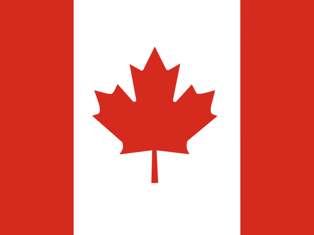
Canada for kids: provinces, territories and capitals
Canada’s 10 provinces and 3 territories with their capitals, which ones touch the US, and fun facts from the Government of Canada.
 Countries · ages 7–13
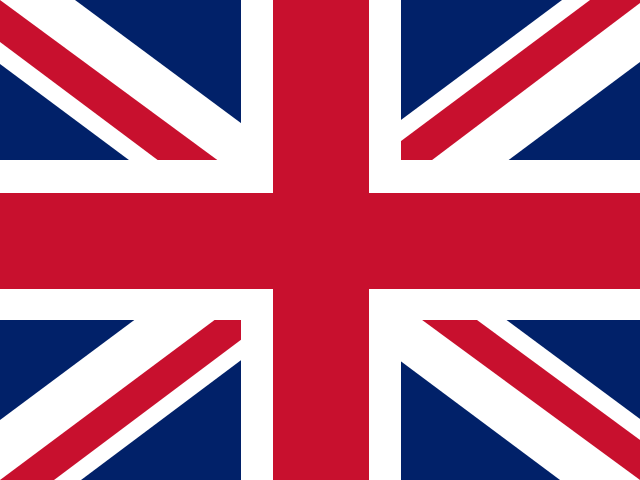
The United Kingdom for kids: its 4 countries and capitals
England, Scotland, Wales and Northern Ireland and their capitals, and the difference between the UK, Great Britain and the British Isles.
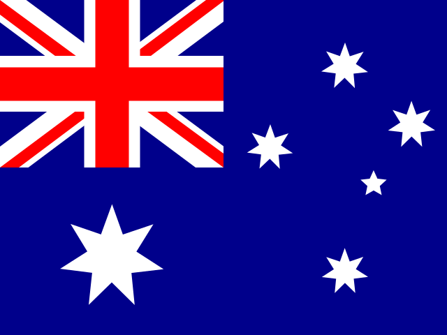 Countries · ages 7–13
Australia for kids: states, territories and capitals
Australia’s six states and two territories with their capitals, how Canberra was chosen, and fun facts from the Australian government.
More to explore
- Free printables Free printable maps and worksheets All 15 of our free PDFs in one place: blank US and world maps, quizzes with answer keys and worksheets. No sign-up.
- 50 states The 50 states and capitals All 50 by region, with their capitals. Each state has its own page for kids.

Explore the world with Otto
Map Otter is coming soon. Join the waitlist and we’ll send one email when it’s out.