
Australia for kids: states, territories and capitals
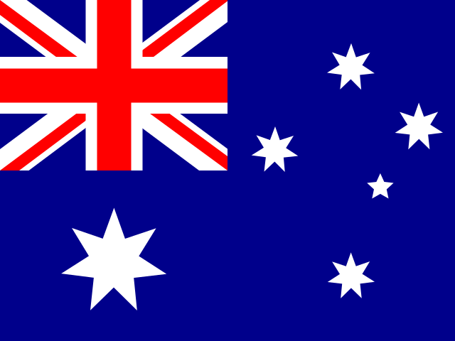
Australia is a country and a continent of its own, across the Pacific from the United States. It has six states and two mainland territories, and its capital is Canberra. Here they are, with their capitals and some fun facts.
The states and territories and their capitals
| State or territory | Capital | Kind |
|---|---|---|
| New South Wales | Sydney | State |
| Victoria | Melbourne | State |
| Queensland | Brisbane | State |
| South Australia | Adelaide | State |
| Western Australia | Perth | State |
| Tasmania | Hobart | State |
| Northern Territory | Darwin | Territory |
| Australian Capital Territory | Canberra, the national capital | Territory |
How Canberra became the capital
Australia’s Constitution said the capital had to be in New South Wales, at least 100 miles from Sydney. In 1908, Parliament chose the area of Yass-Canberra, for its beauty and because it was practical. Today it’s in its own territory, the Australian Capital Territory.
Australia vs the Moon
How big is Australia? Bigger than you might think. Watch our one-minute video:
YouTube Short · 1 minuteAustralia is wider than the MoonTap to play. The video loads from YouTube when you tap.From biggest to smallest
The states and territories in order of size. In every state and in the Northern Territory, the capital is also the biggest city.
- Western Australia, about 2.5 million km² (976,000 sq mi): the biggest state, about a third of Australia.
- Queensland, about 1.7 million km² (668,000 sq mi): the Great Barrier Reef is off its coast.
- Northern Territory, about 1.3 million km² (520,000 sq mi): Uluru, the giant red rock, is here.
- South Australia, about 984,000 km² (380,000 sq mi): Kangaroo Island, Australia’s third-biggest island, is here.
- New South Wales, about 801,000 km² (309,000 sq mi): has the most people.
- Victoria, about 227,000 km² (88,000 sq mi): the smallest mainland state.
- Tasmania, about 68,000 km² (26,000 sq mi): the only island state.
- Australian Capital Territory, about 2,400 km² (900 sq mi): home of Canberra, the national capital.
Fun facts

- Western Australia is the biggest state: about a third of the whole country.
- Tasmania is the only island state.
- The Australian Capital Territory is the only state or territory with no coast.
- Australia has more than 8,000 islands.
- From its northern tip to the south of Tasmania, it’s about 2,400 miles (3,860 kilometers) long.
How to learn them
- Start with the big shapes: Western Australia on the left, Queensland in the top right.
- Then the southeast, where most Australians live: New South Wales, Victoria and the ACT.
- Don’t forget Tasmania, the island in the south.
Check yourself
Cover the answers, say yours out loud, then tap to check.
What is the capital of Australia?
Canberra, in the Australian Capital Territory.
How many states does Australia have?
Six: New South Wales, Victoria, Queensland, South Australia, Western Australia and Tasmania.
Which is the biggest state?
Western Australia. Its capital is Perth.
Which state is an island?
Tasmania. Its capital is Hobart.
Is Sydney the capital of Australia?
No. Sydney is the capital of New South Wales and Australia’s biggest city, but the country’s capital is Canberra.
Where is Uluru?
In the Northern Territory, near the middle of Australia.
See its flag next to its neighbors’ on our flags of the world page, and find it on our continents and oceans maps.
How Map Otter helps
After the United States, Australia is one of the countries Map Otter covers in full detail, the same way it covers the states. Map Otter is the geography app we’re building for kids 4 to 13. It has no ads, no tracking and no accounts, and it’s coming soon to iPhone, iPad, Android and Chromebooks.
Where these facts come from
- National Geographic Education: Continent
- Australian Bureau of Statistics: regional population (capital cities)
- ABS: national, state and territory population, March 2026
- Parliamentary Education Office: Seat of Government Act 1908
- Geoscience Australia: area of the states and territories
- Geoscience Australia: how large is Australia?
- Geoscience Australia: border lengths
- Geoscience Australia: Australian islands
- Geoscience Australia: continental extremities
- Parks Australia: Uluru-Kata Tjuta National Park
- Great Barrier Reef Marine Park Authority