
Free printable maps and worksheets

Every Map Otter printable in one place: 15 maps, quizzes and worksheets for US and world geography. They’re PDFs, free for families and classrooms, with no sign-up and no email needed.
United States maps and worksheets
-
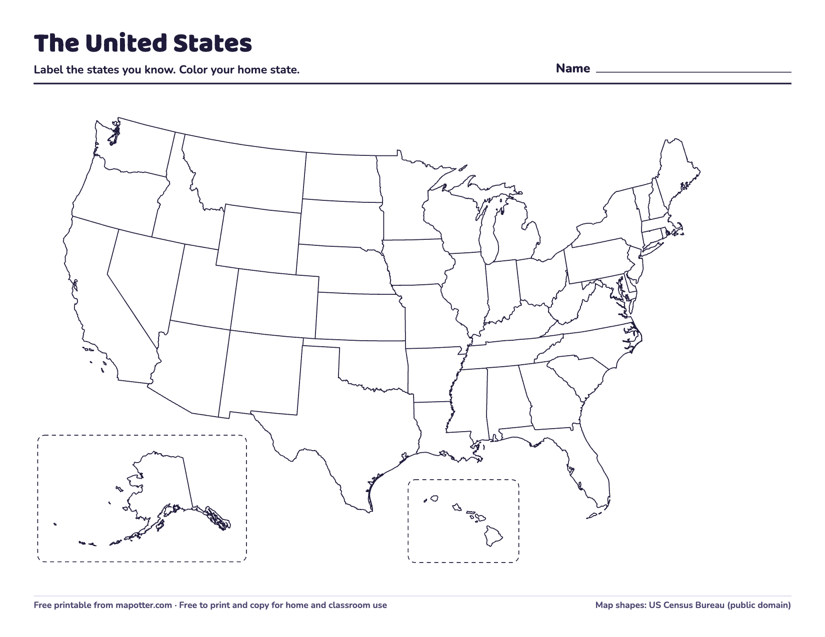
Blank US map
Every state’s outline and no names, with Alaska and Hawaii in boxes. For coloring, labeling and quizzing.
PDF · 1 page · 62 KB · US Letter, landscape
How to use it: Blank US maps
Download the blank US map PDF -
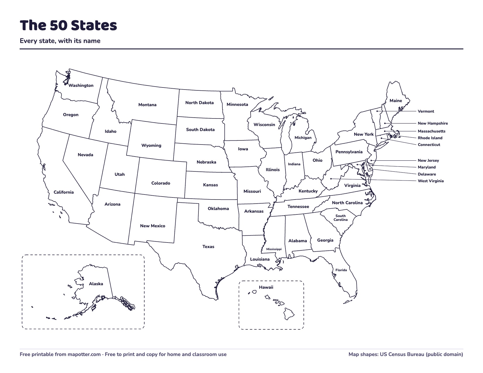
US map with state names
Every state named. Small states in the East are named out in the ocean, with a line to each.
PDF · 1 page · 80 KB · US Letter, landscape
How to use it: Blank US maps
Download the US map with state names PDF -
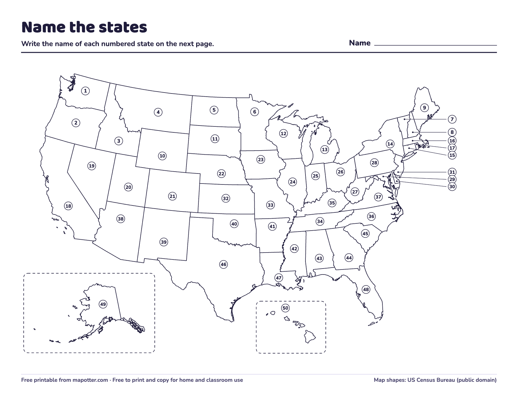
50 states map quiz
Every state numbered, a page to write the answers on, and an answer key.
PDF · 3 pages · 147 KB · US Letter, landscape
How to use it: Blank US maps
Download the 50 states map quiz PDF -
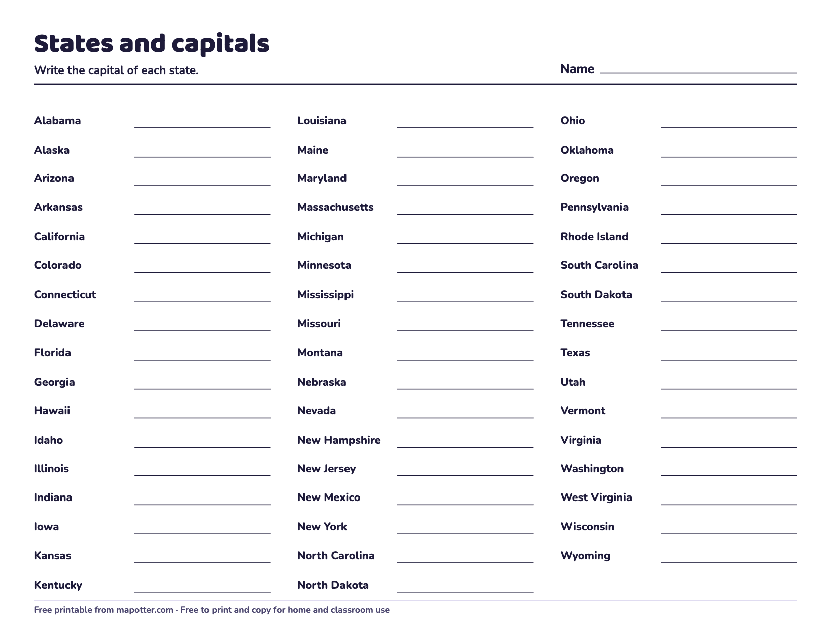
States and capitals worksheet
All 50 states A to Z with a line for each capital, and an answer key.
PDF · 2 pages · 57 KB · US Letter, landscape
How to use it: Blank US maps
Download the states and capitals worksheet PDF -
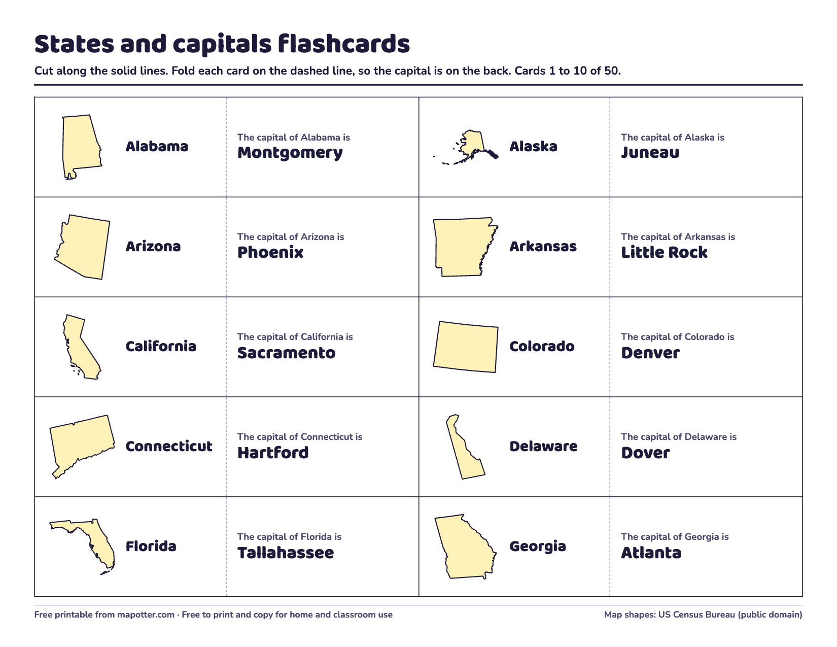
States and capitals flashcards
Fifty fold-over cards, each with a state’s shape and name on the front and its capital on the back.
PDF · 5 pages · 128 KB · US Letter, landscape
How to use it: How to memorize them
Download the states and capitals flashcards PDF -
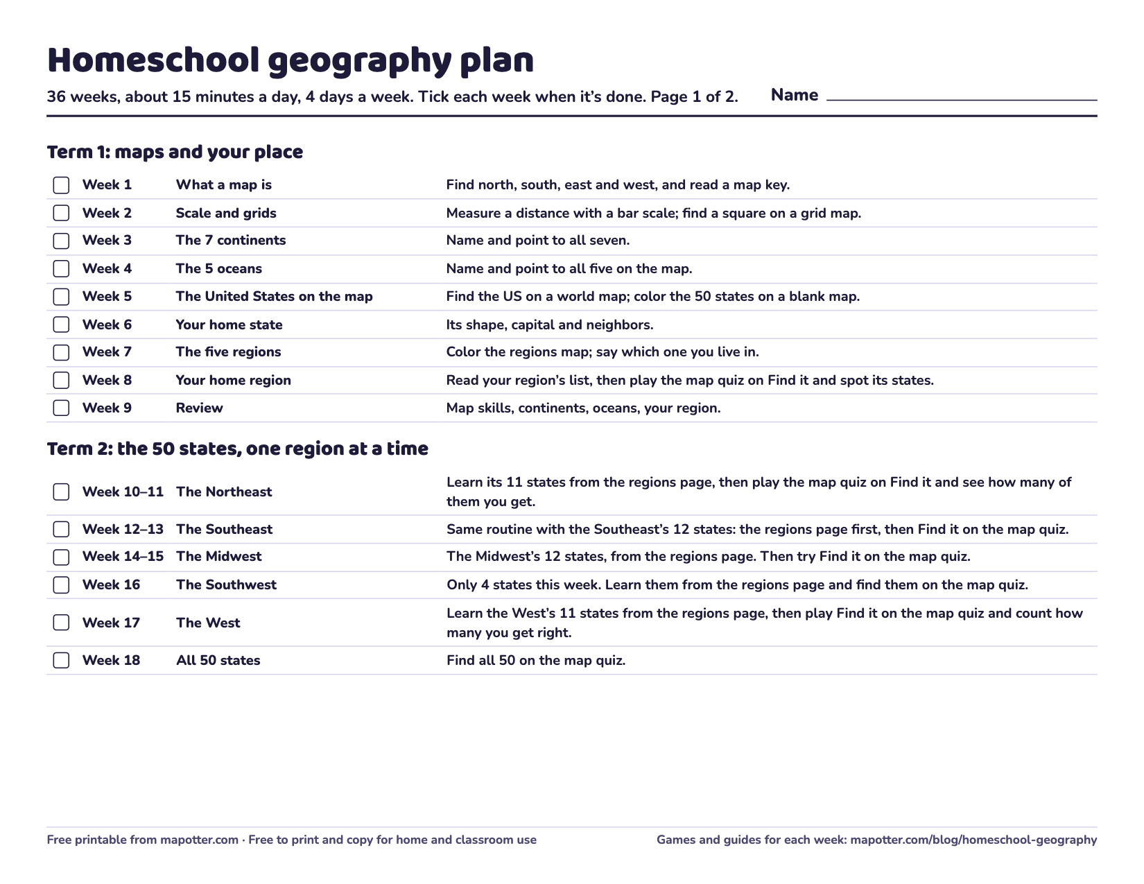
Homeschool geography plan
A 36-week checklist: a goal for every week, from map skills to the 50 states and capitals to flags of the world.
PDF · 2 pages · 67 KB · US Letter, landscape
How to use it: Homeschool geography plan
Download the homeschool geography plan PDF -
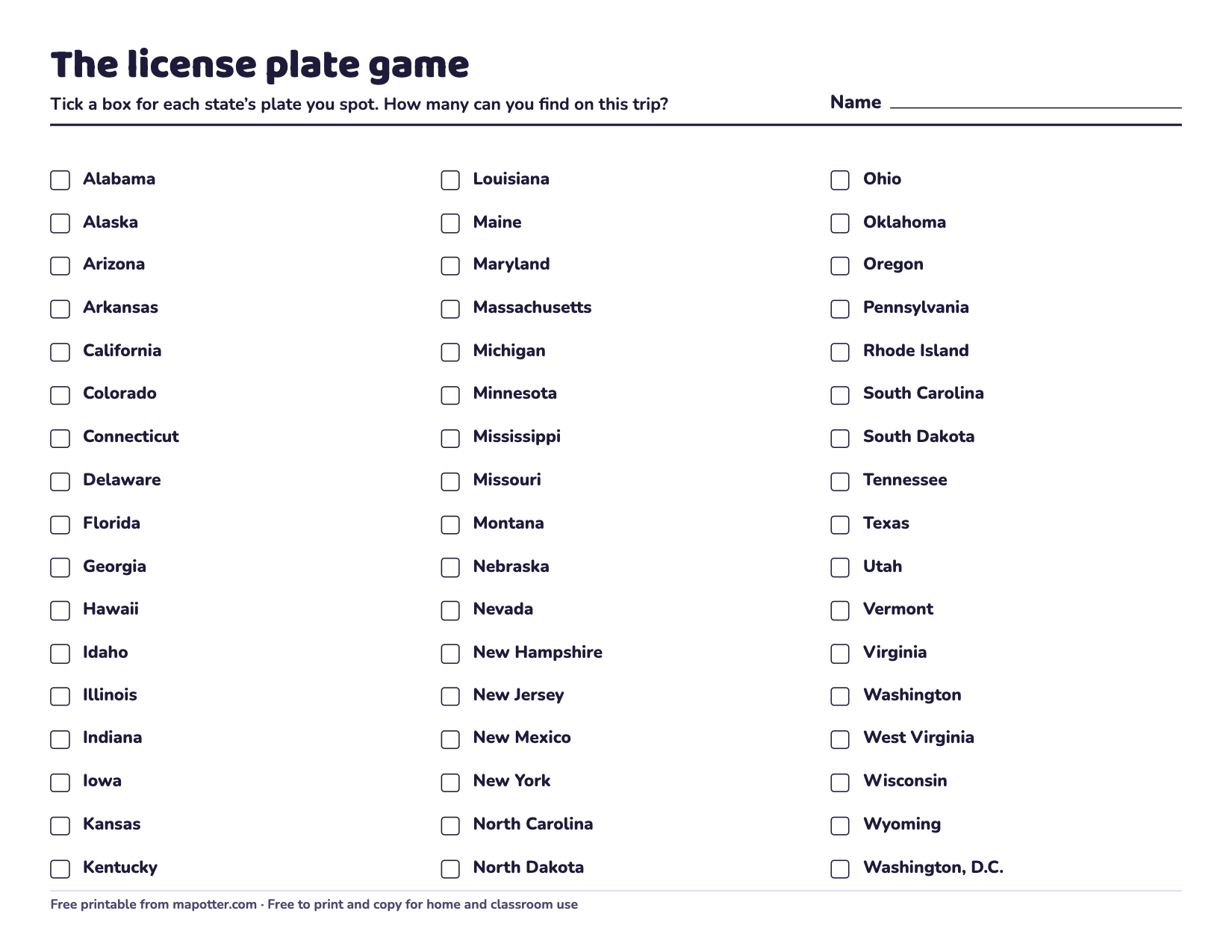
License plate game
A checklist of all 50 states and Washington, D.C. to tick off, and a blank map to color as you spot plates.
PDF · 2 pages · 87 KB · US Letter, landscape
How to use it: Road trip games
Download the license plate game PDF -
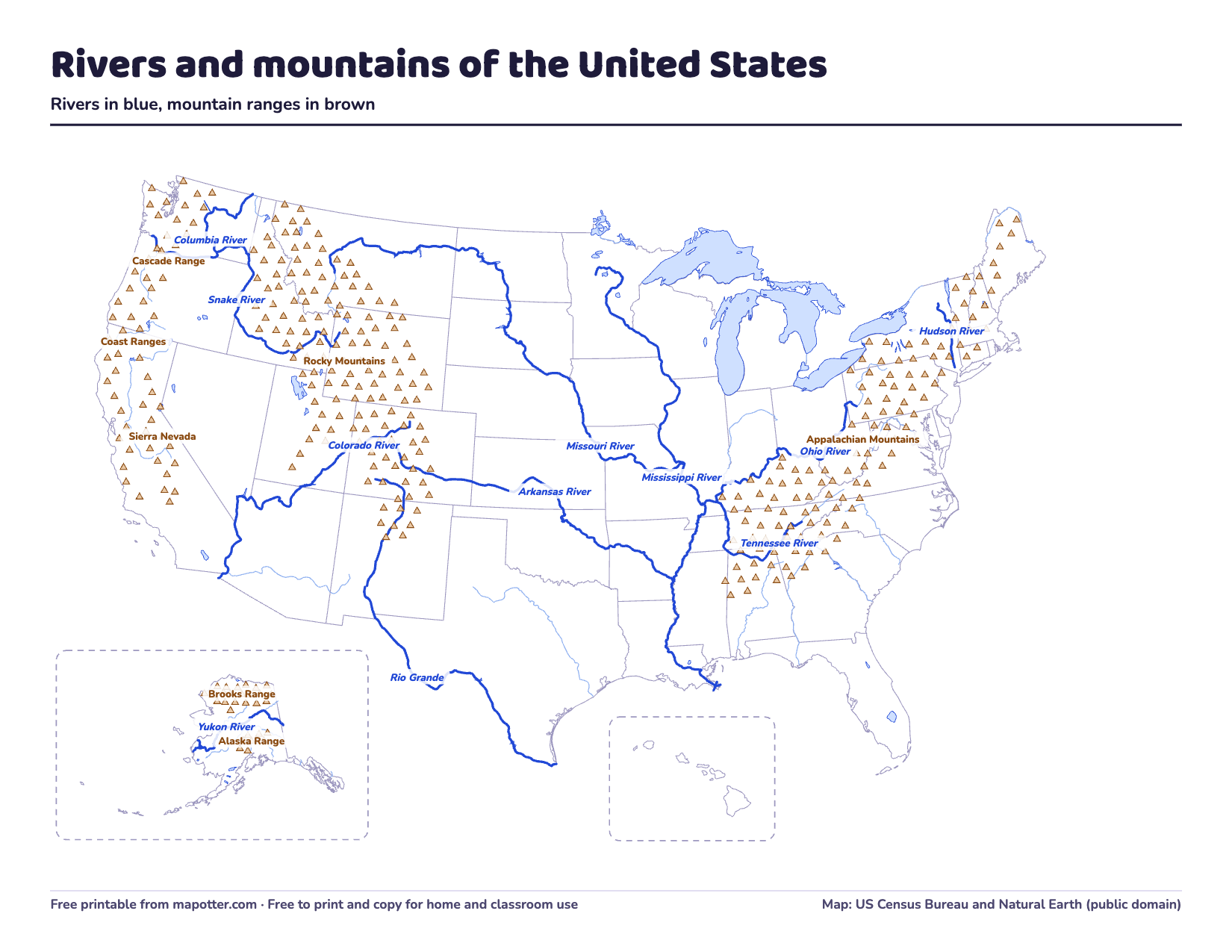
US rivers and mountains map
The 11 big rivers and 7 mountain ranges, labeled, then numbered for a quiz, with an answer key.
PDF · 3 pages · 219 KB · US Letter, landscape
How to use it: Rivers and mountains
Download the US rivers and mountains map PDF -
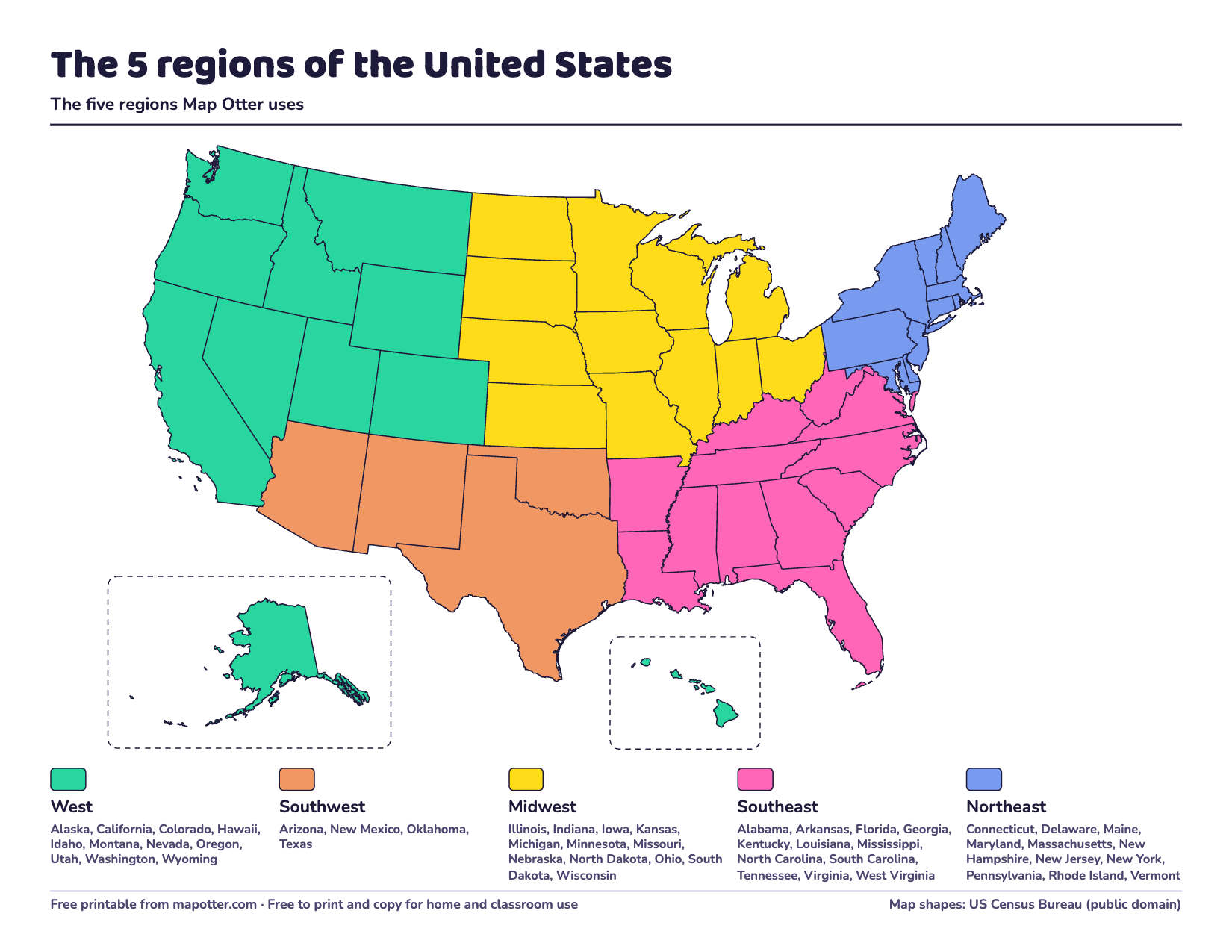
US regions map
The five regions in color with every state listed, and a version to color in yourself.
PDF · 2 pages · 124 KB · US Letter, landscape
How to use it: US regions
Download the US regions map PDF -
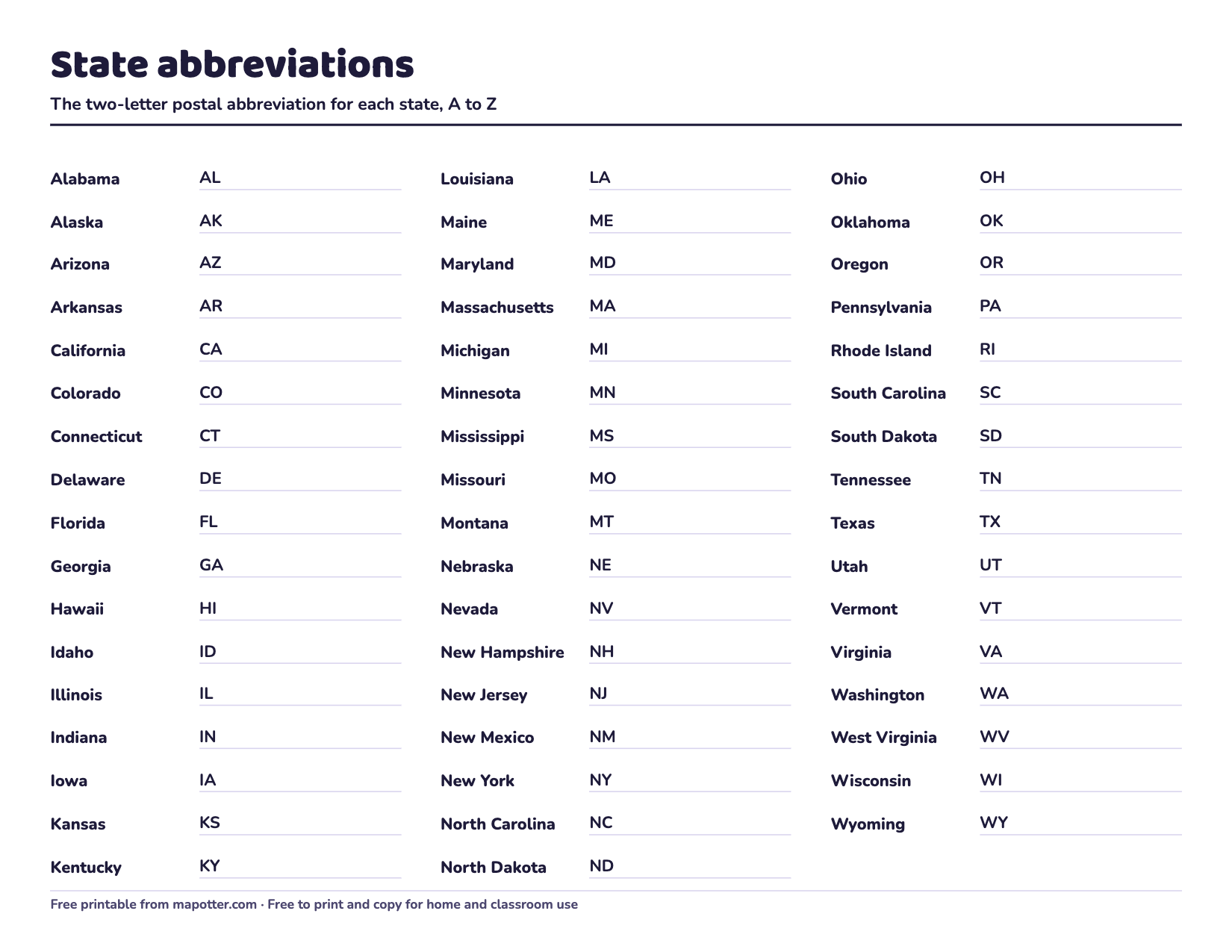
State abbreviations
All 50 abbreviations A to Z, a map with every abbreviation, and a page to practice.
PDF · 3 pages · 120 KB · US Letter, landscape
How to use it: State abbreviations
Download the state abbreviations PDF -
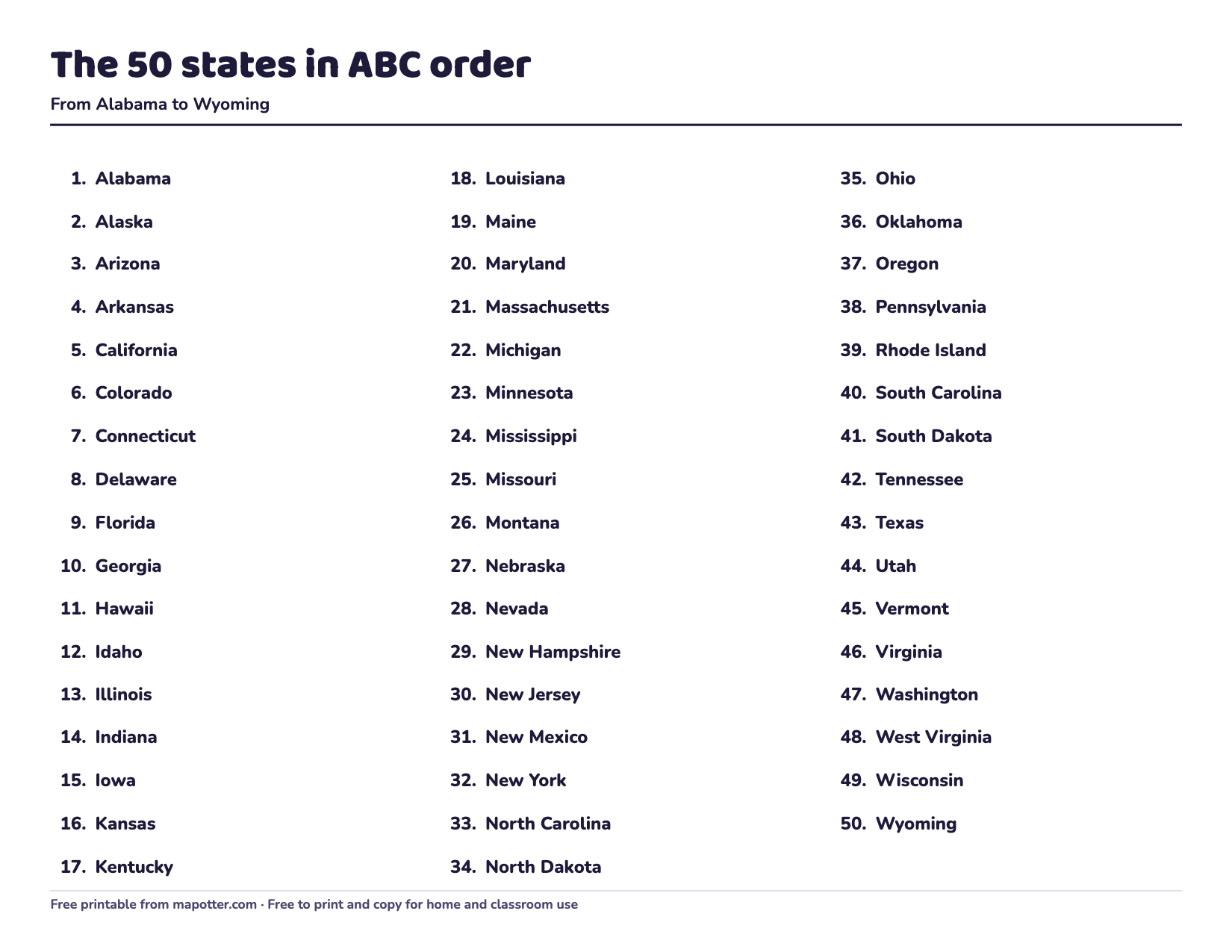
50 states in ABC order
All 50 states, numbered from Alabama to Wyoming, on one page.
PDF · 1 page · 35 KB · US Letter, landscape
How to use it: States A to Z
Download the 50 states in ABC order PDF


World maps and worksheets
-
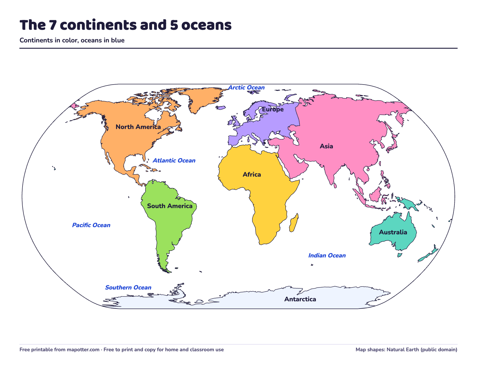
Continents and oceans map
The seven continents in color and the five oceans, all named.
PDF · 1 page · 62 KB · US Letter, landscape
How to use it: Continents and oceans
Download the continents and oceans map PDF -
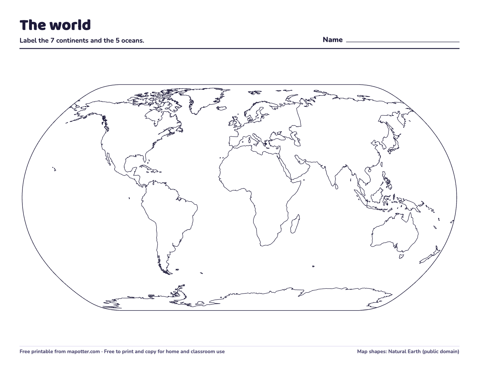
Blank world map
The seven continents with no names, to label the continents and oceans.
PDF · 1 page · 57 KB · US Letter, landscape
How to use it: Continents and oceans
Download the blank world map PDF -
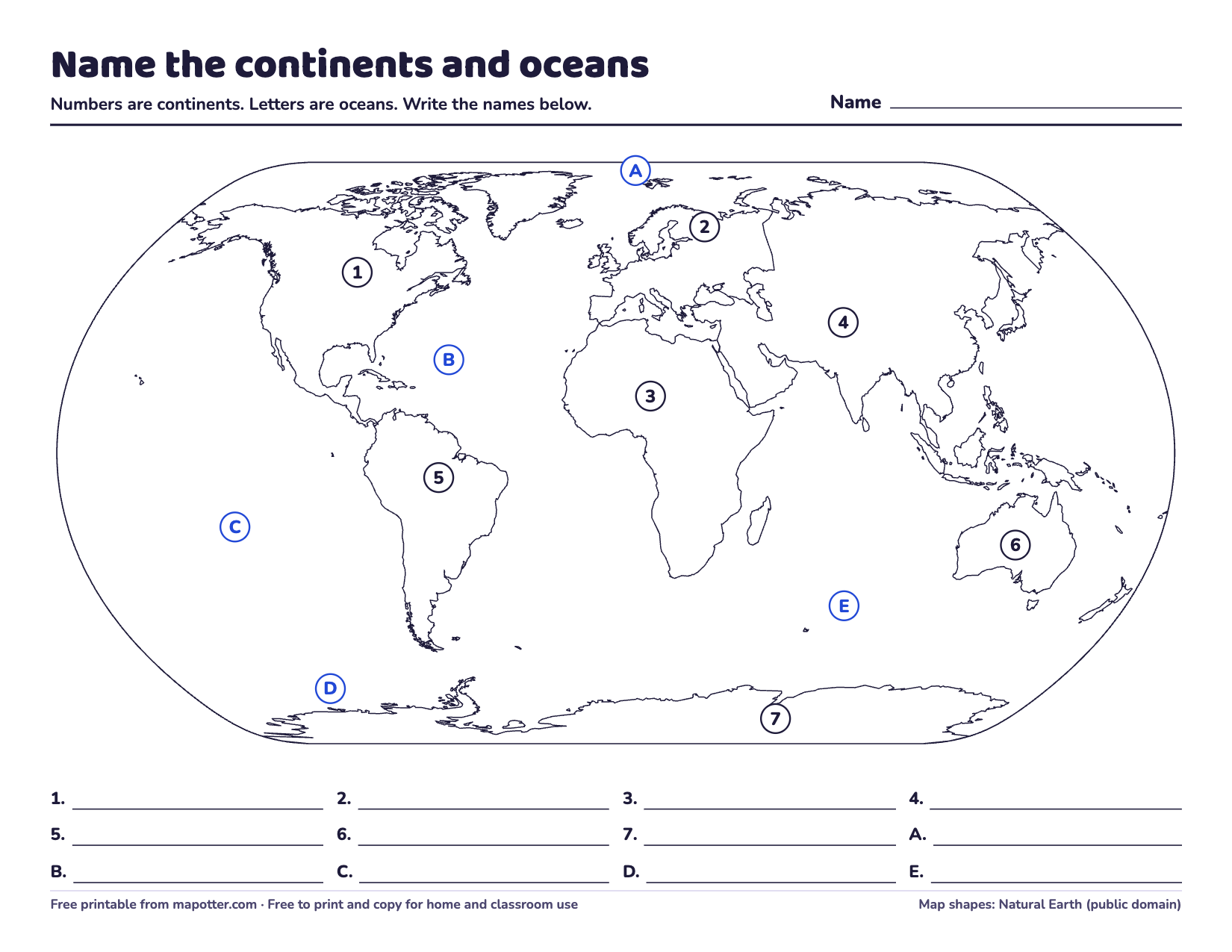
Continents and oceans quiz
Continents numbered, oceans lettered, lines to write the names, and an answer key.
PDF · 2 pages · 81 KB · US Letter, landscape
How to use it: Continents and oceans
Download the continents and oceans quiz PDF -
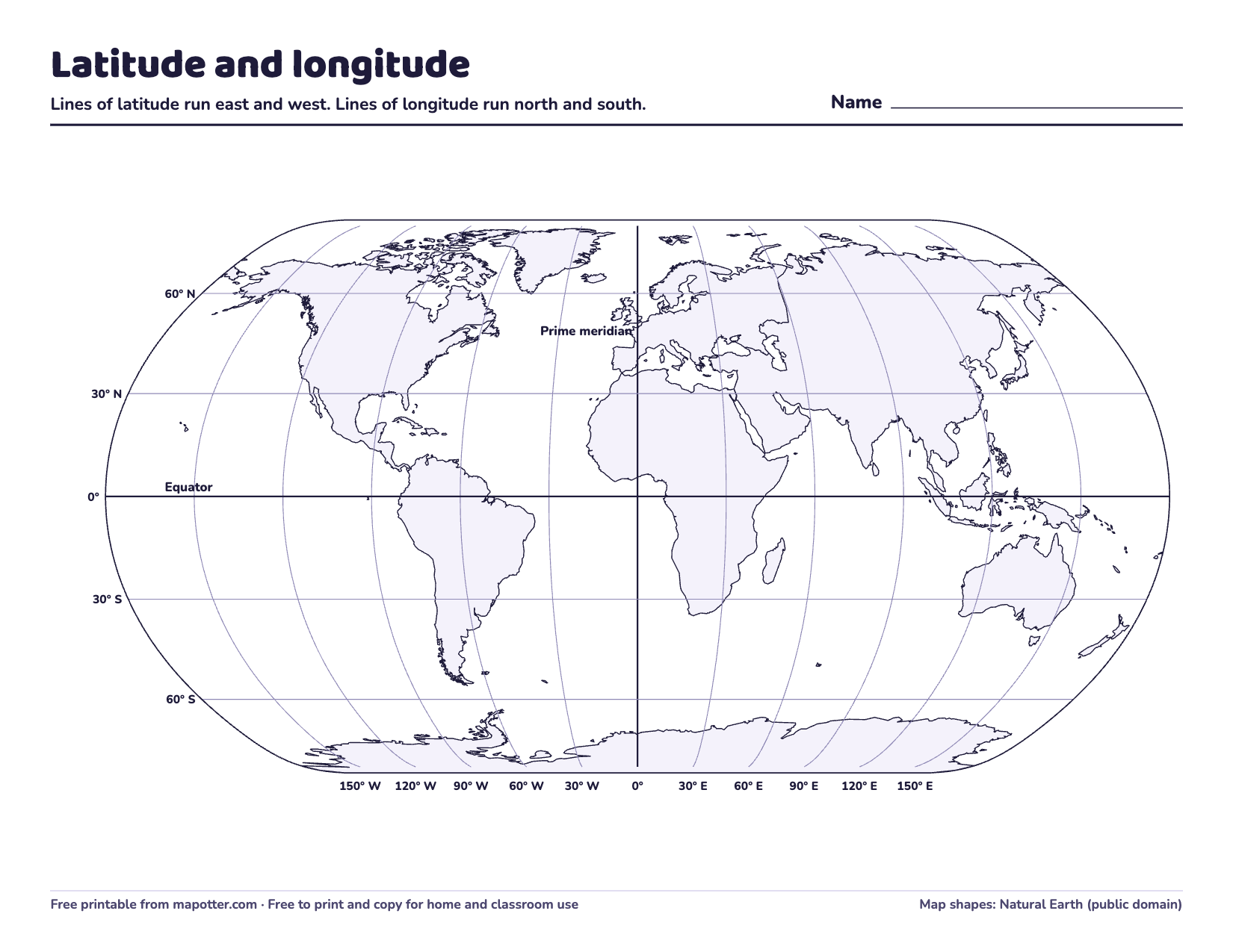
Latitude and longitude map
A world map with lines every 30 degrees, eight questions and an answer key.
PDF · 3 pages · 90 KB · US Letter, landscape
How to use it: Latitude and longitude
Download the latitude and longitude map PDF


The quizzes and worksheets end with an answer key, so you can print just the first pages for your kid and keep the key.
Which to print first
The blank US map and the blank world map, as coloring pages. Color where you live first.
The US map with state names and the continents and oceans map for the wall, and the regions map to learn the states a few at a time.
The map quizzes, the capitals worksheet, the abbreviations page and the latitude and longitude map.
Printing tips
- Every page is US Letter, landscape. On A4 paper, choose “Fit to page” in the print settings.
- Black and white is all most of them need. The regions map and the continents map also come out fine in gray.
- For a page kids can use again and again, put it in a sheet protector and use a dry-erase marker.
Using them in a classroom
Print and copy as many as you need for your family, your class or your homeschool. Please don’t sell them or post the files somewhere else; link to this page instead.
Prefer a screen?
Play the 50 states quiz in your browser, or look up a flag on our flags of the world page. For guides to go with the maps, see the 50 states and capitals and the world for kids.
About the maps
We drew these from the same maps as our app, Map Otter. The state shapes come from the US Census Bureau’s map files and the world map from Natural Earth; both are in the public domain.
How Map Otter helps
We’re building Map Otter, a geography app for kids 4 to 13, with map puzzles, quizzes and road trips, and Otto the otter reads everything aloud for younger kids. It has no ads, no tracking and no accounts, and it’s coming soon to iPhone, iPad, Android and Chromebooks.
