
Rivers and mountains of the United States


The United States has huge rivers and tall mountains. Here are the 11 big rivers and 7 mountain ranges kids learn about first: how long each river is, where it starts and ends, and a fact about each range.
The big rivers
These lengths are measured from where each river starts to where it ends, in miles. Rivers change over time, so different books give slightly different numbers.
- 1. Missouri River
2,540 miles
Starts in Montana. Ends in Missouri.
- 2. Mississippi River
2,340 miles
Starts in Minnesota. Ends in Louisiana.
- 3. Yukon River
1,980 miles
Starts in Yukon Territory, Canada. Ends in Alaska.
- 4. Rio Grande
1,900 miles
Starts in Colorado. Ends in Texas and Mexico.
- 5. Arkansas River
1,469 miles
Starts in Colorado. Ends in Arkansas.
- 6. Colorado River
1,450 miles
Starts in Colorado. Ends in Mexico.
- 7. Ohio River
1,310 miles
Starts in Pennsylvania (as the Allegheny River). Ends in Illinois and Kentucky.
- 8. Columbia River
1,249 miles
Starts in British Columbia, Canada. Ends in Oregon and Washington.
- 9. Snake River
1,040 miles
Starts in Wyoming. Ends in Washington.
- 10. Tennessee River
886 miles
Starts in North Carolina. Ends in Kentucky.
- 11. Hudson River
315 miles
Starts in the Adirondack Mountains, New York. Ends in New York Harbor.
River facts
- The Missouri is the longest river in the United States, and the Mississippi is second.
- The Missouri flows into the Mississippi. Together, from Montana to the Gulf, they make one river channel about 3,710 miles long.
- The Mississippi carries the most water of any US river.
- The Mississippi keeps its name from start to end. The Ohio starts as the Allegheny River in Pennsylvania.
- The Hudson starts in the Adirondack Mountains and flows south through eastern New York to New York Harbor.
The mountain ranges
The tallest peak is Mount Mitchell in North Carolina, about 6,684 feet. It’s the tallest peak east of the Mississippi River. The Appalachians are among the oldest mountains in the world.
On Map Otter’s map, it runs through states including Alabama, Georgia, North Carolina, Tennessee, Kentucky, Virginia, West Virginia, Pennsylvania, New York and Maine.
Mount Whitney, 14,505 feet, is here. It’s the tallest mountain in the lower 48 states.
On Map Otter’s map, it runs through states including California.
Mount Rainier, 14,410 feet, is the highest volcano in the Cascade Range, and it’s an active volcano.
On Map Otter’s map, it runs through states including Washington, Oregon and California.
These mountains run along the Pacific coast.
On Map Otter’s map, it runs through states including Washington, Oregon and California.
The tallest mountain in North America is in the Alaska Range: 20,310 feet tall, in Denali National Park.
On Map Otter’s map, it runs through states including Alaska.
These mountains are in the far north of Alaska. Gates of the Arctic National Park is in the middle of the range, north of the Arctic Circle.
On Map Otter’s map, it runs through states including Alaska.
How to remember them
- Low in the east, high in the west. The Appalachians’ tallest peak is under 7,000 feet; the Sierra Nevada, the Cascades and the Alaska Range all have peaks over 14,000 feet.
- Follow the water. The Mississippi runs down the middle of the country, from Minnesota to Louisiana, and the Missouri flows into it.
- Pair them up. The Columbia and the Snake are in the Northwest; the Colorado and the Rio Grande both start in Colorado.
Print the map
-
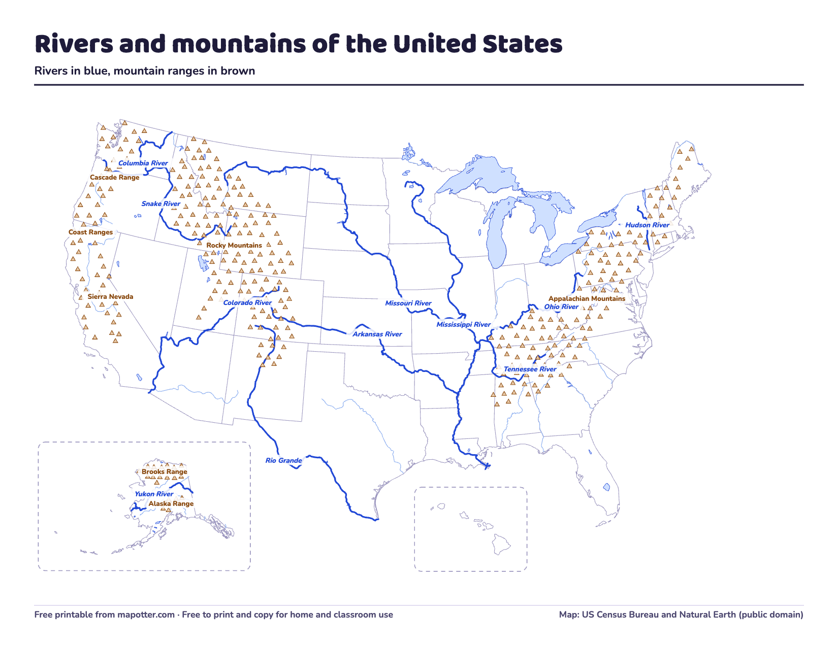
US rivers and mountains map
The 11 big rivers and 7 mountain ranges, labeled, then numbered for a quiz, with an answer key.
PDF · 3 pages · 219 KB · US Letter, landscape
Download the US rivers and mountains map PDF
Rivers and mountains in Map Otter
In Map Otter’s Trailblazers track, for about ages 10 to 13, the map shows these rivers and mountain ranges, and quizzes ask kids to name them from a clue, like the states a river flows through.
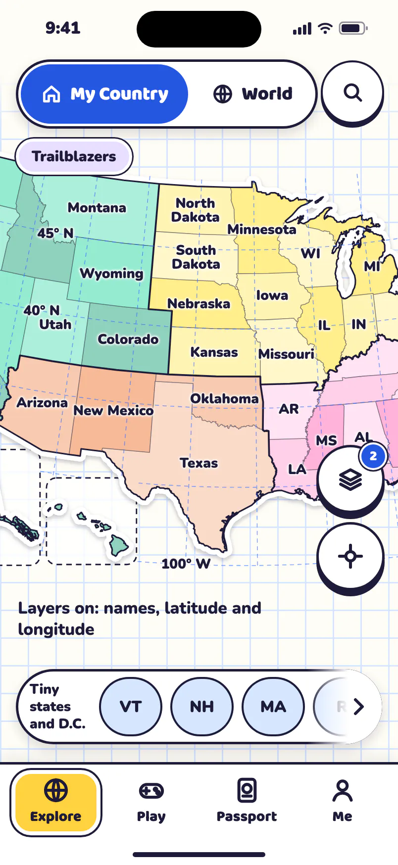

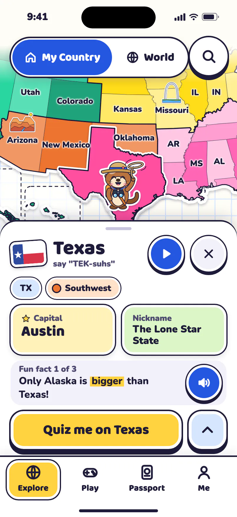
Free to try, for one kid: your home state, your home region’s games, Road Trip’s first chapter, Map Skills and the Daily Mystery. No ads, no tracking, no accounts.
Map Otter is coming soon to iPhone, iPad, Android phones and tablets, and Chromebooks.
Where these facts come from
- US Geological Survey: Largest rivers in the United States (Kammerer, revised 1990)
- National Park Service: Bard Rock and the Hudson River
- National Park Service: Rocky Mountain National Park, hydrologic activity
- National Park Service: Mount Mitchell
- National Park Service: Blue Ridge Parkway, mountains
- National Park Service: Seeing and climbing Mt. Whitney
- National Park Service: Mount Rainier National Park
- National Park Service: Mount Rainier volcano monitoring
- National Park Service: Denali National Park and Preserve, natural resource condition assessment
- National Park Service: What is Gates of the Arctic?
