
The Map Otter blog
Short, practical guides for parents and teachers on teaching kids geography.
Sections
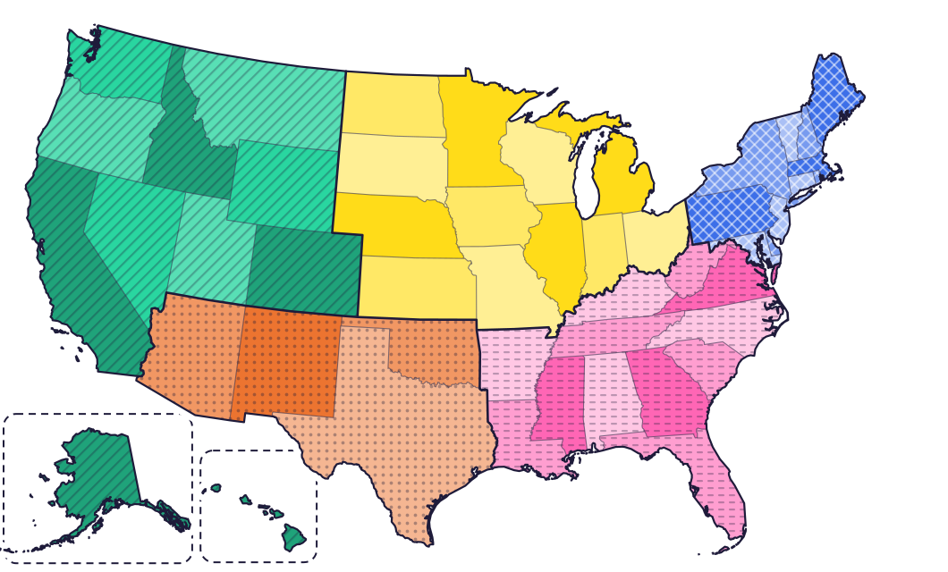
The 50 states and capitals
What schools expect and when, how to teach the states at home, and a page for every state with its capital, map, symbols and tricks to remember it.
- World The world for kids The continents and oceans, latitude and longitude, map skills, flags, and guides to Canada, the UK and Australia.
- Free printables Free printable maps and worksheets All 15 of our free PDFs in one place: blank US and world maps, quizzes with answer keys and worksheets. No sign-up.
Latest posts
 Free printables · ages 4–13
Free printable maps and worksheets
All 15 of our free PDFs in one place: blank US and world maps, quizzes with answer keys and worksheets. No sign-up.
- Play freePlay free · ages 6–13
Free geography games for kids
Map quizzes to play right here, printable quizzes for paper practice, and the games waiting in Map Otter.
 For homeschool · ages 8–11
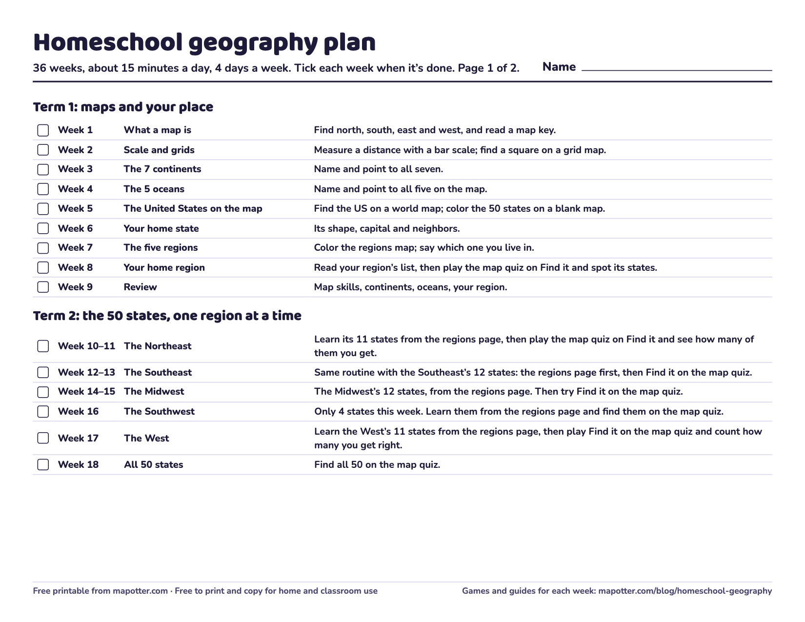
A free homeschool geography plan
A school year of geography, 15 minutes a day: each week has a goal, a free game and a page to read or print.
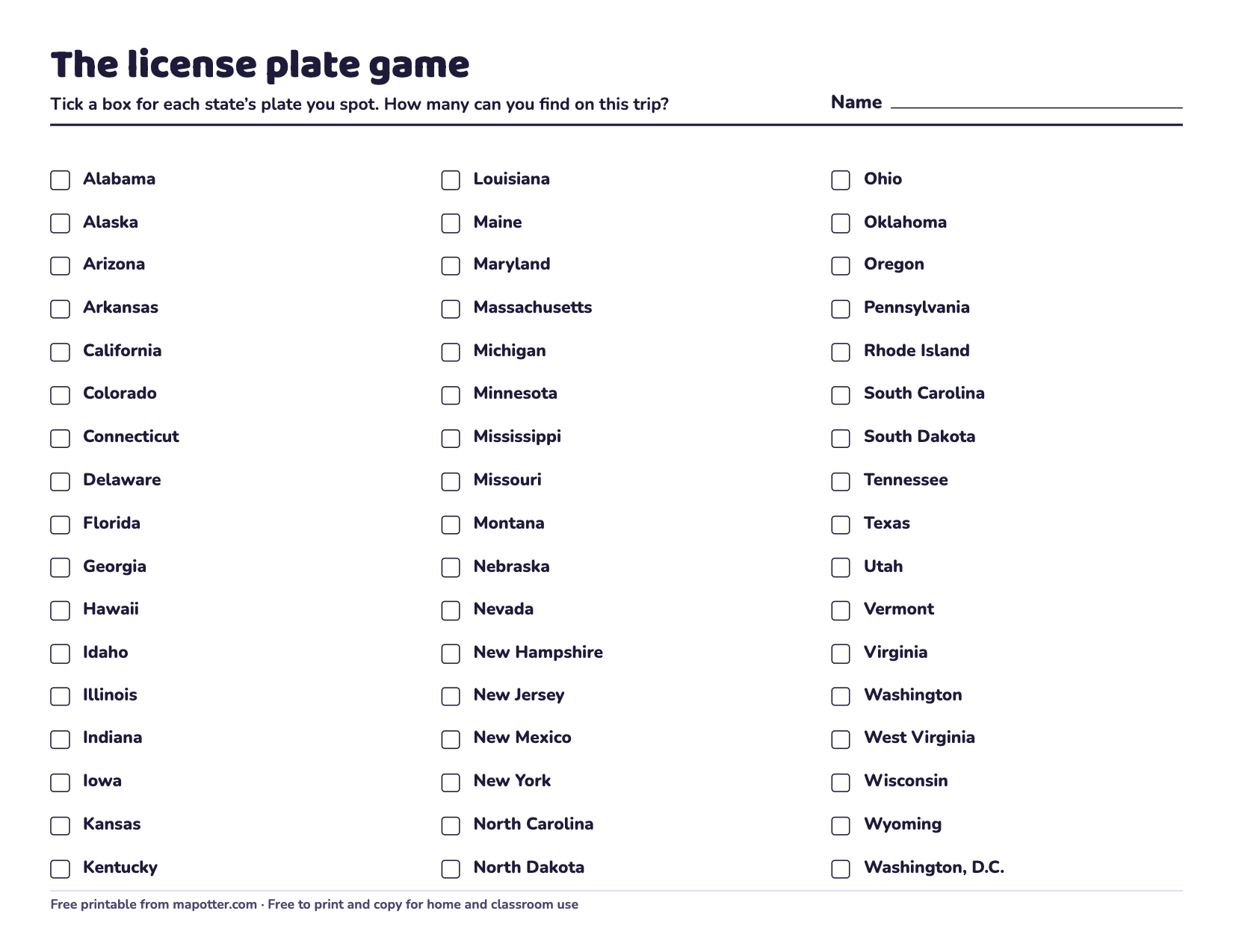 For families · ages 5–13
Road trip games for kids
Seven car games that sneak in some geography, with a printable license plate game and a map to color.
- Play the quizPlay it here · ages 7–13
50 states quiz
Play right here: find the states on the map, name them, or pick their capitals, 10 at a time or all 50.
- Capitals quizPlay it here · ages 8–13
State capitals quiz
Play right here: pick each state’s capital, find the state that goes with a capital, or type it yourself.
- For parents and kids · ages 7–13
How to memorize the 50 states and capitals
Learn by region, watch for the big-city trap, make silly hooks, and practice the misses first.
- ?A new one every day · ages 7–13
Mystery state of the day
One state a day: guess it from its shape, with a new clue after every wrong guess.
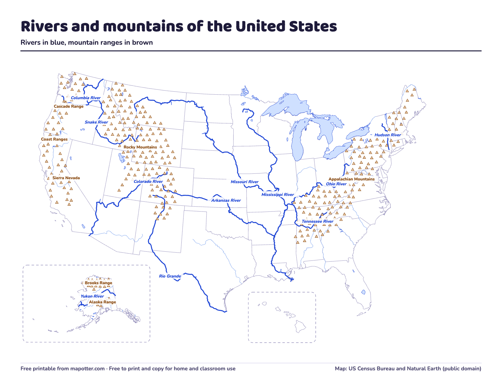 For parents · ages 9–13
Rivers and mountains of the United States
The 11 big rivers and 7 mountain ranges kids learn about, with lengths, tall peaks and a printable map.
- For parents · ages 6–12
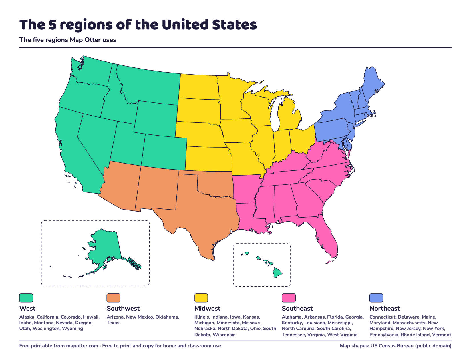
The regions of the United States
The five US regions most classrooms use and the states in each. Also how the Census Bureau splits the country, and a regions map to print and color.
- ALAKAZARReference · ages 7–13
State abbreviations: all 50 two-letter codes
All 50 two-letter state abbreviations A to Z, from the Postal Service, with tricks for the ones kids mix up and a list and map to print.
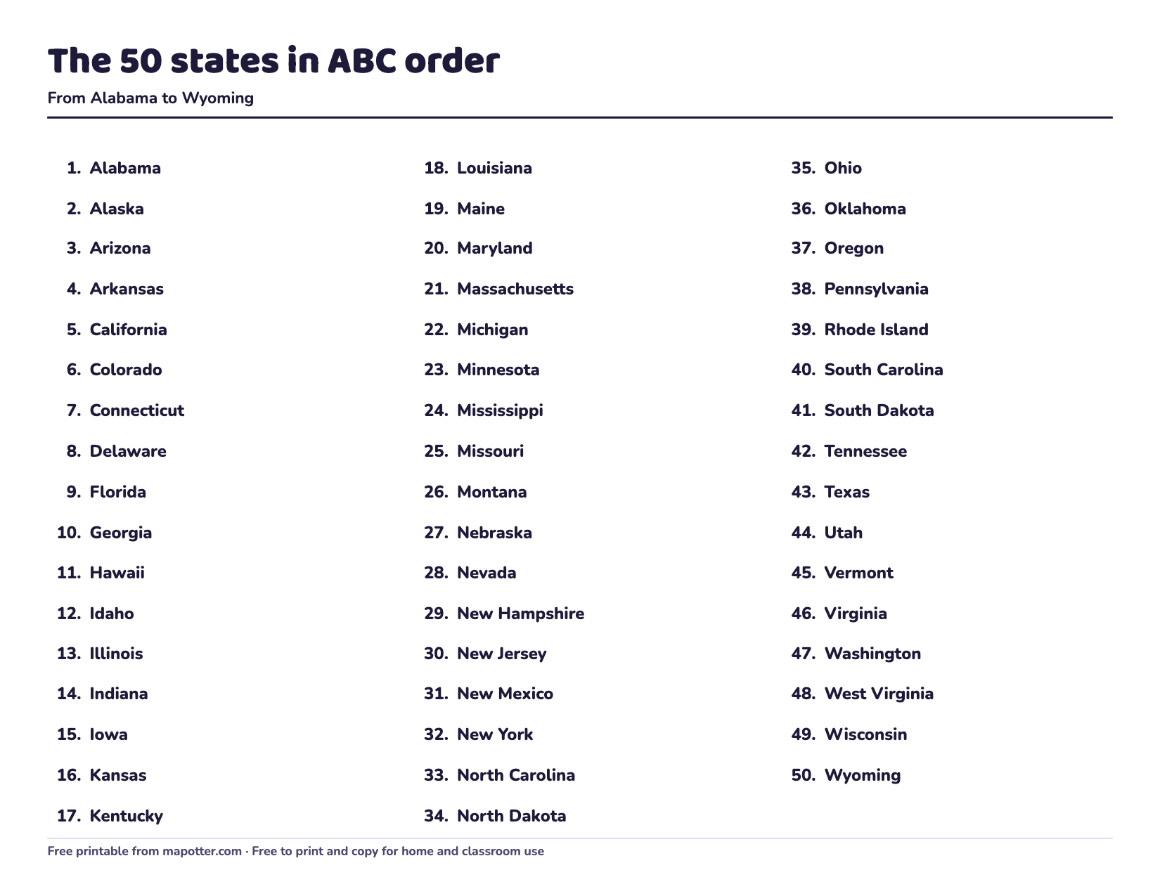 Reference · ages 6–13
The 50 states in alphabetical order
All 50 states numbered from Alabama to Wyoming, grouped by their first letter, with a one-page list to print.
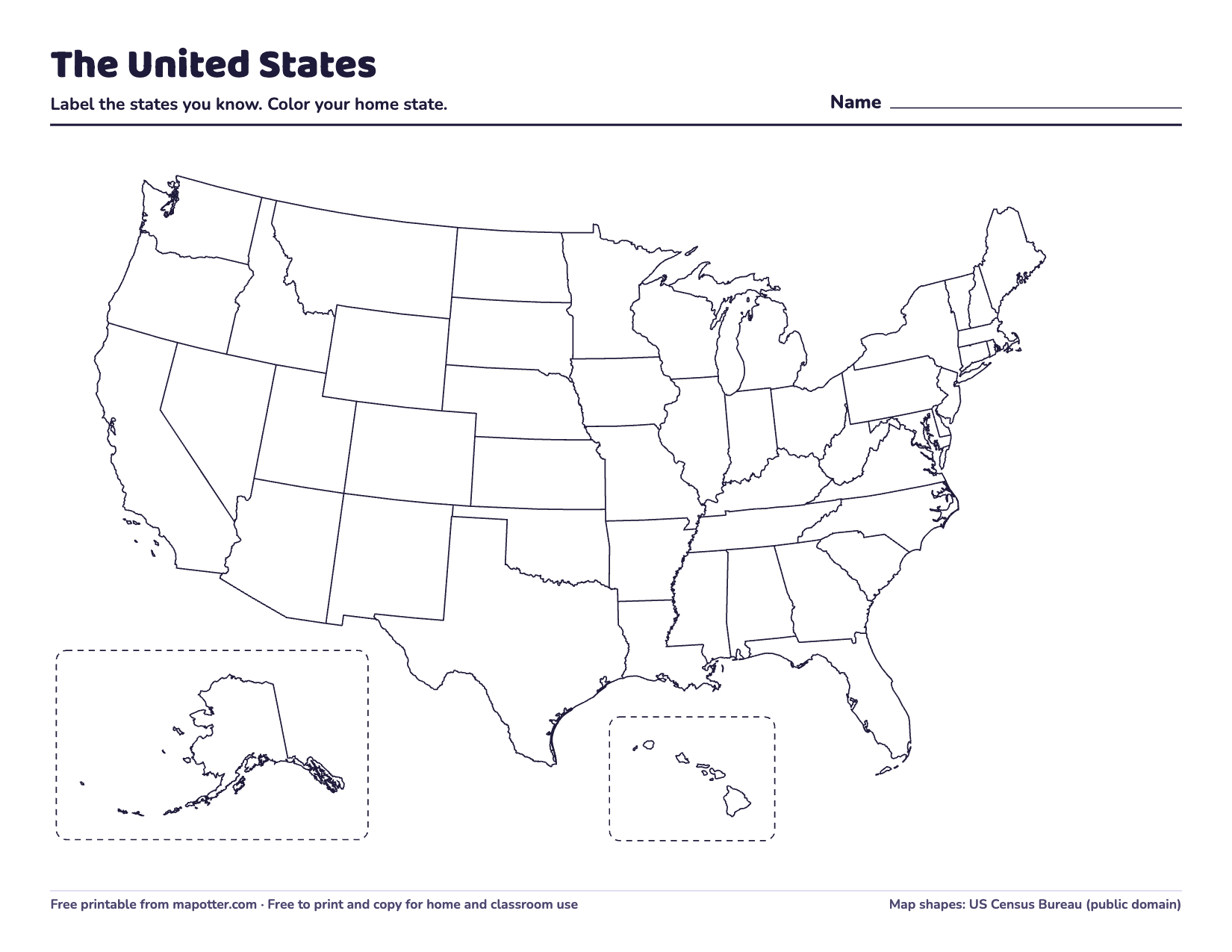 Free printables · ages 4–13
Free printable blank US maps
A blank US map, a map with every state’s name, a 50 states quiz and a capitals worksheet: free PDFs to print, with ideas for using them by age.
- 4th5th
 For parents · grades K–8
What age do kids learn the states and capitals?
Many kids study their own state around 4th grade and all 50 around 5th. A grade-by-grade look at what schools expect, and how to start sooner at home.
- For parents · ages 4–13
How to teach kids the 50 states
Fifty states is a lot to learn at once. Start with your own state and its neighbors, take one region at a time, and practice by remembering, not rereading.
 For parents · ages 4–10
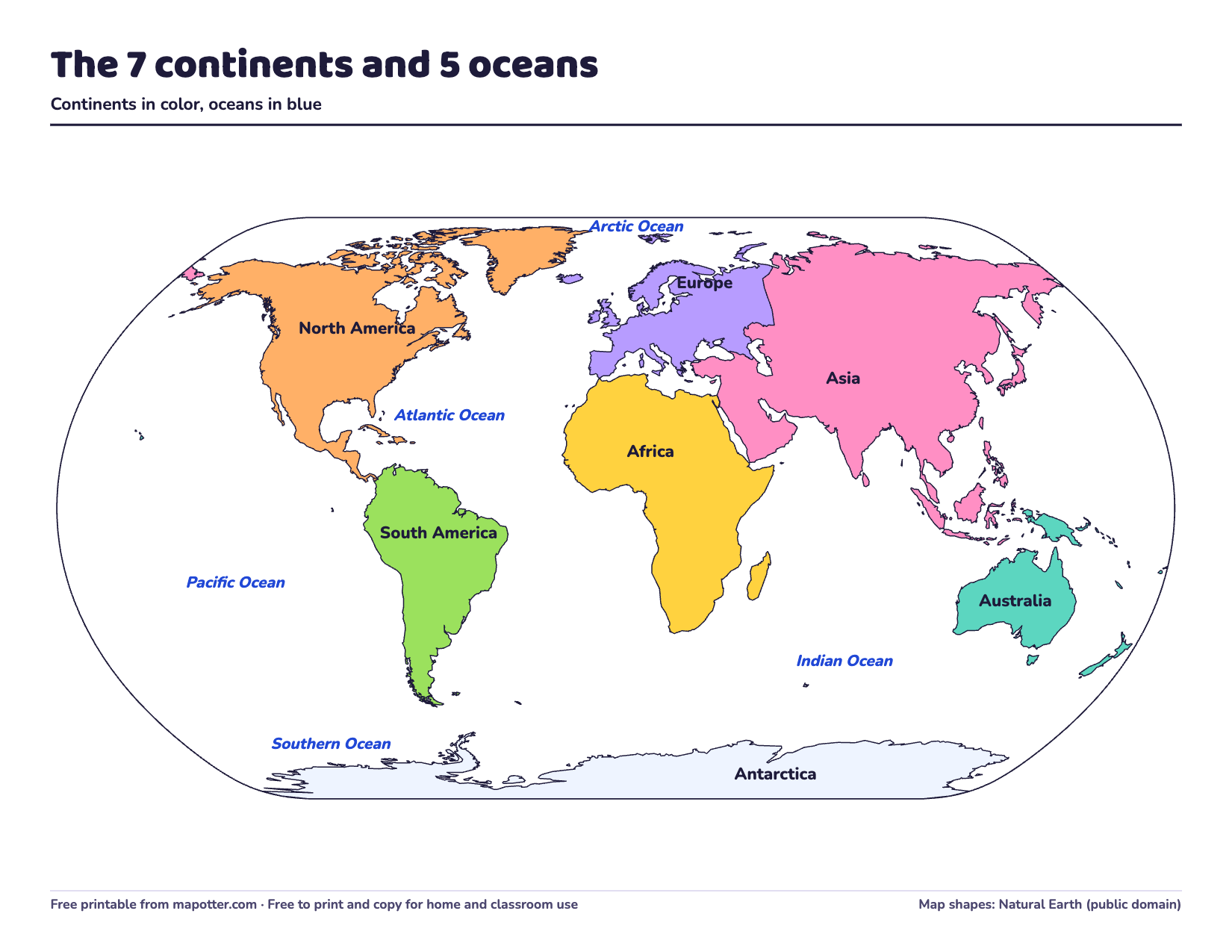
The 7 continents and 5 oceans for kids
The seven continents and five oceans, largest to smallest. There’s a fact about each, a song for remembering them, and world maps to print.
 For parents · ages 9–13
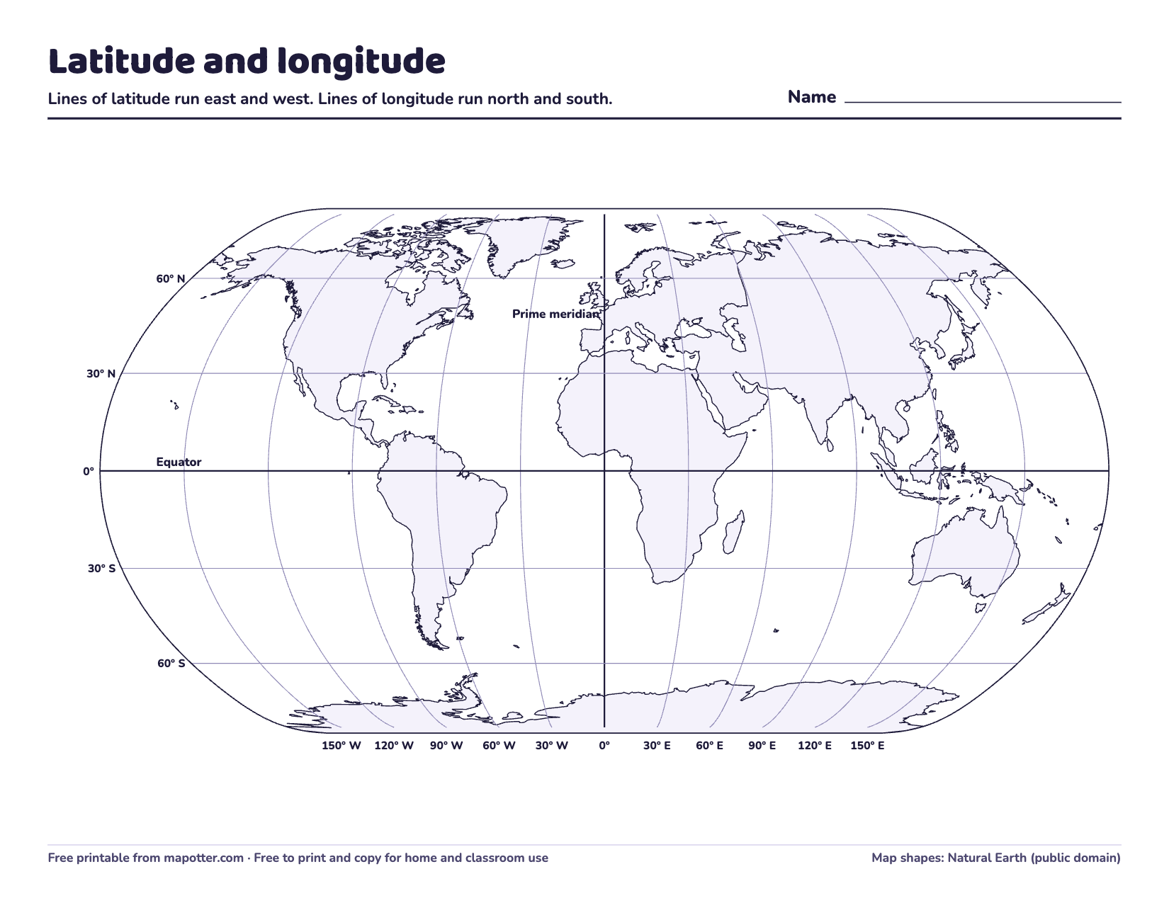
Latitude and longitude for kids
What latitude and longitude are and how to read a place’s coordinates. Plus why the prime meridian is in Greenwich, and a map with questions to print.
- For parents · ages 5–10
Map skills for kids: compass rose, map key and scale
The compass rose and directions, the map key, the scale and the grid, explained simply, with activities for home.
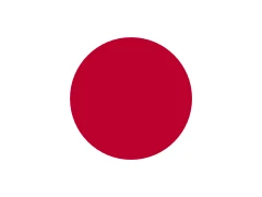
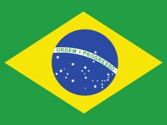
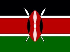
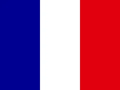
 Reference · ages 6–13
Flags of the world
198 flags of the world, by continent with their names, and tips to help kids remember them.
 Countries · ages 7–13
Canada for kids: provinces, territories and capitals
Canada’s 10 provinces and 3 territories with their capitals, which ones touch the US, and fun facts from the Government of Canada.
 Countries · ages 7–13
The United Kingdom for kids: its 4 countries and capitals
England, Scotland, Wales and Northern Ireland and their capitals, and the difference between the UK, Great Britain and the British Isles.
 Countries · ages 7–13
Australia for kids: states, territories and capitals
Australia’s six states and two territories with their capitals, how Canberra was chosen, and fun facts from the Australian government.


