
Map skills for kids: compass rose, map key and scale
Before kids can learn where places are, they need to read a map. Four parts of a map do most of the work: the compass rose, the map key, the scale and the grid. This guide goes through what each one does, with easy things to try at home.
The compass rose: which way is which
A compass rose is the symbol on a map that shows the directions. Its four main points are the four cardinal directions: north, east, south and west. North is usually at the top.
Between them are the in-between directions. A point halfway between north and east is northeast; the others are southeast, southwest and northwest.
Why a rose? Old ship compasses had 32 points, which reminded sailors of a flower, so the card was called a compass rose.
A trick for the order: going clockwise from the top, North, East, South, West: “Never Eat Soggy Waffles.”
The map key: what the symbols mean
The map key, also called the legend, is a list of the symbols, lines and colors on a map and what they mean: a star for a capital city, a blue line for a river, green for a park.
The scale: how far is it really?
A map is much smaller than the real world. The scale tells you how much smaller. The most common kind is a bar scale, which looks like a ruler: if the bar says one inch is 10 miles, two inches on the map is 20 miles on the ground.
The grid: finding a spot
A grid is the set of lines drawn over a map. Some maps use a simple grid of letters and numbers (“the zoo is in B3”). World maps and globes use lines of latitude and longitude: see latitude and longitude for kids.
Map skills activities for home
- Map your room. Draw your bedroom from above, add a key (a square for the bed, a circle for the rug) and a compass rose.
- Find north. Use a phone compass to find north in your home, then label a wall with N, E, S and W.
- Treasure hunt. Hide a toy and give directions: “three steps north, then two steps east.”
- Measure a trip. On a printed map, use the scale to find how far it is between two cities.
- Label a real map. Add a compass rose and a key to one of our free blank US maps or the blank world map.
Many schools teach these skills from kindergarten to 2nd grade: see what age kids learn the states and capitals.
How Map Otter helps
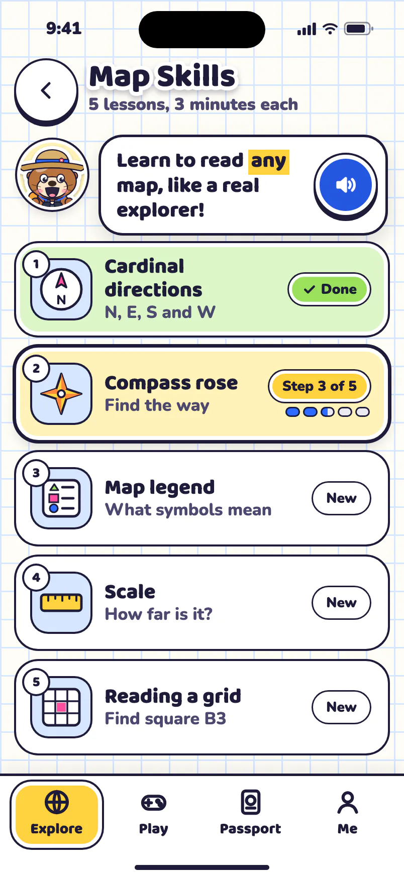
We’re building Map Otter, a geography app for kids 4 to 13, where kids learn on real maps: finding places, fitting states into a puzzle map and driving road trips. Its Map Skills has five short lessons: cardinal directions, the compass rose, the map legend, scale and reading a grid. It has no ads, no tracking and no accounts, and it’s coming soon to iPhone, iPad, Android and Chromebooks.
