
What age do kids learn the states and capitals?
In many US states, kids study their own state around 4th grade and meet all 50 states around 5th grade, when they’re 10 or 11. In some states the capitals come then too. There’s no national schedule, though, so it depends on where you live, and kids can start a lot sooner at home.
There’s no national schedule
The US has no national curriculum. Federal law keeps the federal government from directing what schools teach, so each state writes its own social studies standards, and districts and teachers decide how to teach them. That’s why two kids the same age, in different states, may learn the 50 states in different grades.
Still, the states we checked follow a similar path. The examples below come from California, Texas and Florida, the three states with the most people.
What schools expect, grade by grade
Maps and globes, the four directions, the continents and oceans, and finding your own town and state on a map.
In Texas, kindergartners use maps and globes (§113.11), 1st graders find places with north, south, east and west (§113.12), and 2nd graders learn the seven continents and the oceans (§113.13). Florida’s 2nd graders find their hometown, Florida, North America and the state and national capitals.
Your own state: its regions and history, and often its capital and neighbors.
Texas (§113.15), California, Florida, New York and Ohio all study their own state in 4th grade.
The United States: its history and geography, and in some states every state and its capital.
California’s standard 5.9 asks students to “know the location of the current 50 states and the names of their capitals.” Florida’s SS.5.G.1.6: “Locate and identify states, capitals, and United States Territories on a map.” Texas’s standard (§113.16) gives “the 50 states” as an example of places 5th graders locate on a map, and doesn’t mention their capitals.
Some states come back to the 50 states in middle school.
Florida’s 7th graders locate the fifty states and their capital cities again.
Your state may differ. To see yours, search for your state’s name and “social studies standards”: they’re public, on your state’s department of education website. Or ask your kid’s teacher what this year covers.
Is my kid ready?
There’s no test for it, but these are good signs that a kid will enjoy learning the states:
- They can find your state on a map of the country.
- They know a few directions, like “north is up” on most maps.
- They like puzzles, sorting or matching games.
- They ask “where is that?” on a trip or when a place comes up in a story.
If those aren’t there yet, that’s fine: map play builds them.
Starting sooner at home
Kids don’t have to wait for 5th grade. What works changes with age:
Big ideas through pictures and play: we live in the United States, on a continent, next to oceans. Your state’s shape, and the animals that live in different places.
Your home state and its neighbors, then one region at a time. Puzzle maps and “where’s that?” games.
All 50 states, then their capitals when kids are ready. It’s what many schools ask for in 5th grade.
Keep the states fresh with quick quizzes, and move on to the world’s countries and capitals.
For a step-by-step way to do it, see how to teach kids the 50 states.
Free practice for each stage
Everything here is free on this site, with no sign-up. The stages follow the grade table above; pick the row that matches what your kid is learning now:
| Stage | Play | Read and print |
|---|---|---|
| K to 2nd grade maps, directions, continents | Continents and oceans game | Map skills for kids, blank world map |
| 4th grade your own state, its region | 50 states map quiz on Find it, the mystery state of the day | Your state’s own page, the US regions, the blank US map |
| 5th grade all 50 states, capitals | State capitals quiz, the map quiz on Name it | How to memorize them, the flashcards |
| Middle school once the states are easy: the world | Flags quiz | Latitude and longitude, the world for kids |
All the games are on one page: free geography games for kids. Homeschooling? Our free homeschool geography plan puts them in order for a whole school year.
States first, then capitals
California and Florida ask for the capitals in the same standard as the states. Texas’s 5th-grade standard mentions the states but not their capitals. At home, it helps to go in order: once a kid can find and name a state, its capital has something to stick to.
Questions parents ask
My 10-year-old can’t name all 50 states. Is that normal?
Yes. Many schools don’t ask for all 50 until 5th grade, and some states’ standards don’t ask for every capital in elementary school at all. A few minutes of practice on most days helps more than worrying.
Is it too early to start at 4 or 5?
Not if it’s play. Young kids can learn that we live in the United States, what a map is, and the shape of their own state. Leave lists of names for later.
What grade do kids learn the continents?
Often early. In Texas, for example, 2nd graders learn the seven continents and the oceans (§113.13). Our continents and oceans guide has a game to practice them.
How do I find out what my kid’s school expects?
Ask the teacher, or look up your state’s social studies standards on its department of education website. They’re public, and they list what each grade covers.
How Map Otter helps
Map Otter, our geography app for kids 4 to 13, has three tracks by grade: Little Explorers (pre-K to 1st grade), Explorers (2nd to 4th) and Trailblazers (5th to 7th). You pick a grade at the start and the app picks the track. When a kid is ready, Otto offers to move them up one. No ads, no tracking, no accounts.
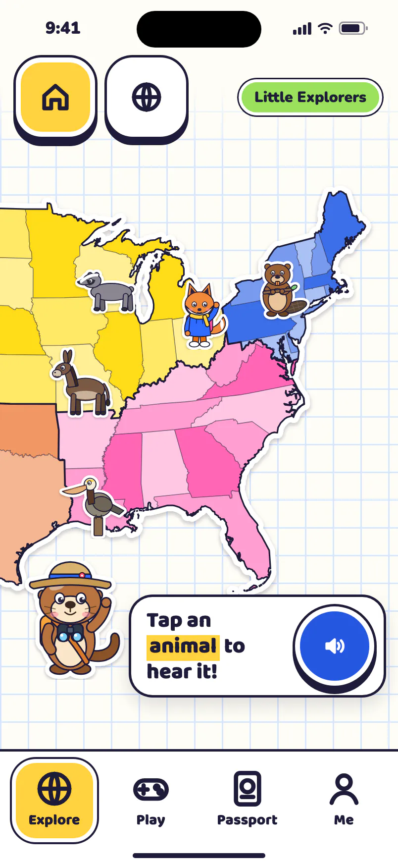
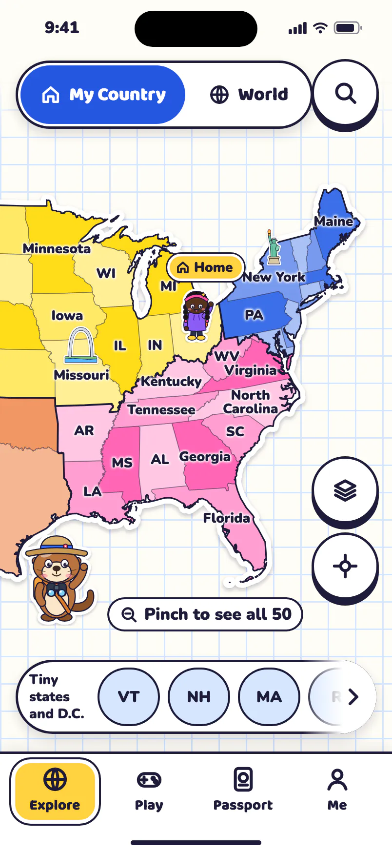
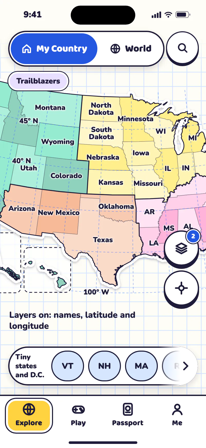
Map Otter is coming soon to iPhone, iPad, Android phones and tablets, and Chromebooks.
