
Free printable blank US maps

Four free US maps and worksheets to print: a blank map, a map with every state’s name, a numbered map quiz and a states and capitals worksheet. They’re PDFs, with no sign-up and no email needed. Below them: which to use at what age, and five ways to use a blank map.
The maps
-
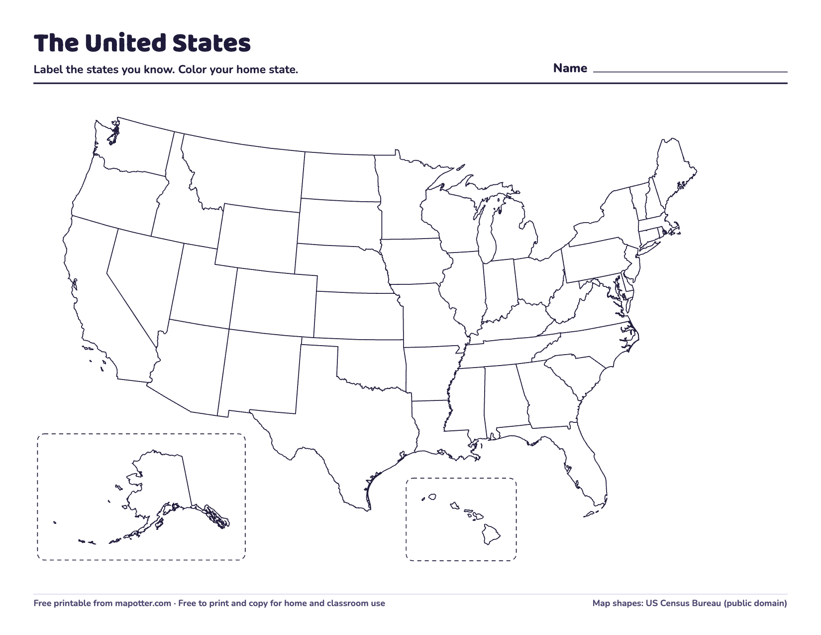
Blank US map
Every state’s outline and no names, with Alaska and Hawaii in boxes. For coloring, labeling and quizzing.
PDF · 1 page · 62 KB · US Letter, landscape
Download the blank US map PDF -
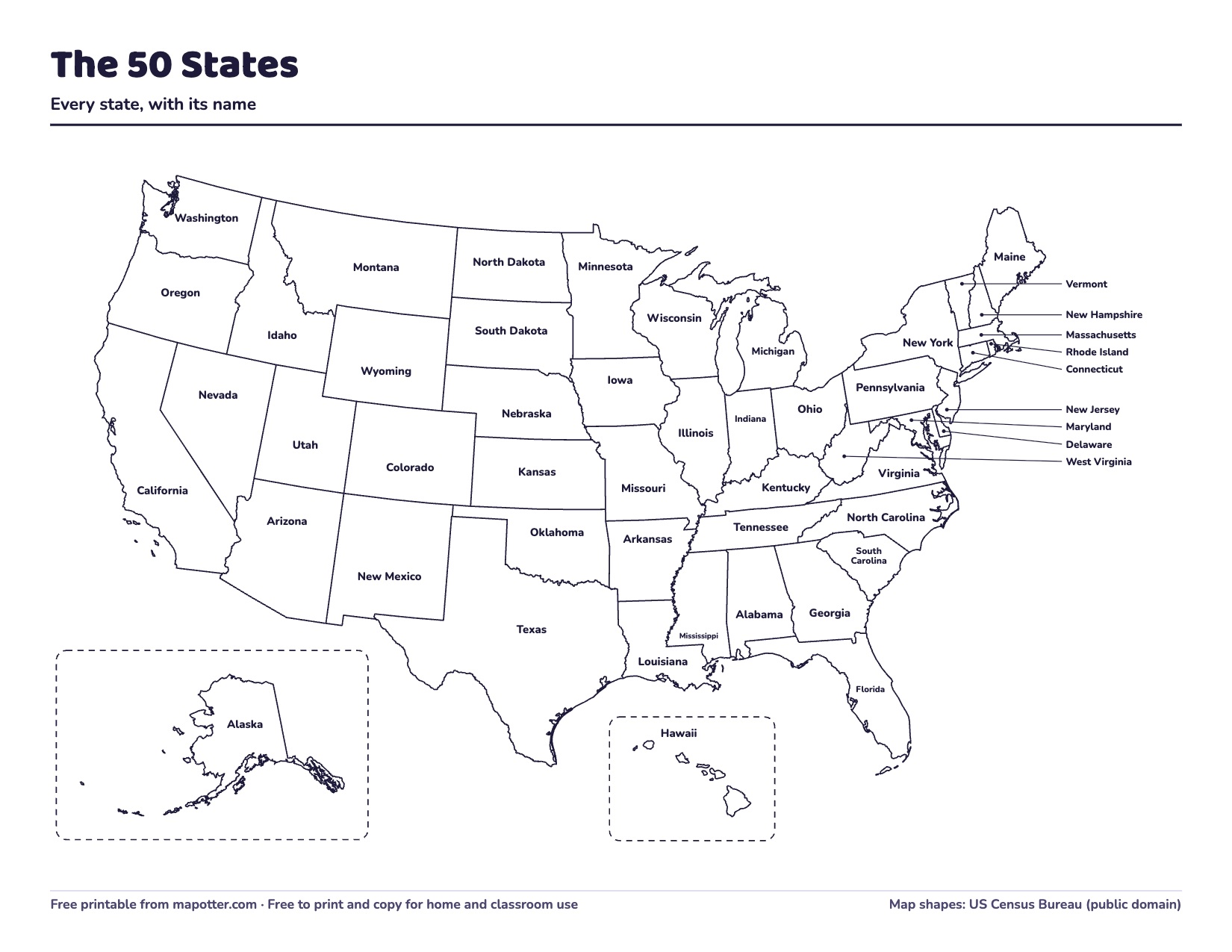
US map with state names
Every state named. Small states in the East are named out in the ocean, with a line to each.
PDF · 1 page · 80 KB · US Letter, landscape
Download the US map with state names PDF -
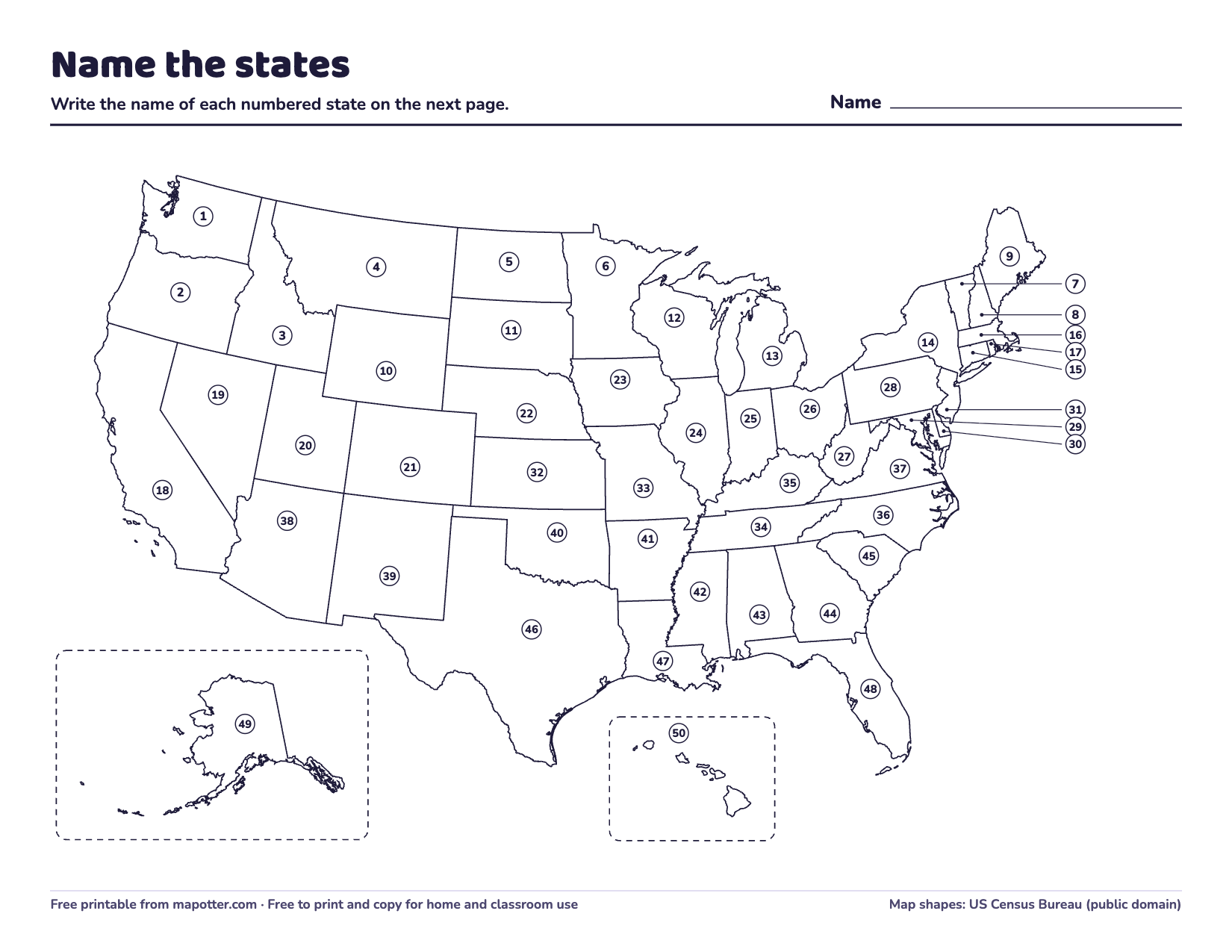
50 states map quiz
Every state numbered, a page to write the answers on, and an answer key.
PDF · 3 pages · 147 KB · US Letter, landscape
Download the 50 states map quiz PDF -
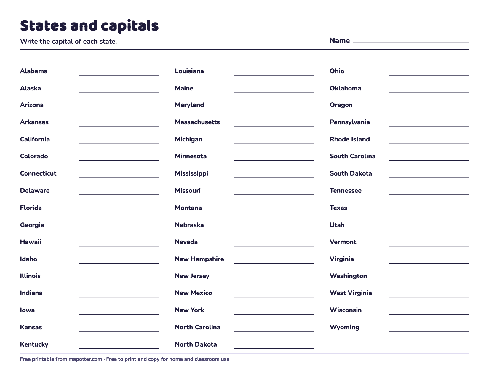
States and capitals worksheet
All 50 states A to Z with a line for each capital, and an answer key.
PDF · 2 pages · 57 KB · US Letter, landscape
Download the states and capitals worksheet PDF


The quiz and the worksheet each end with an answer key, so you can print just the first pages for your kid and keep the key.
Looking for world maps too? All 15 of our maps and worksheets are on the free printables page.
Which map to use at what age
The blank map, as a coloring page. Color your home state first, then the states you’ve visited or where family lives.
The map with names on the wall or the fridge, and the blank map to fill in one region at a time.
The map quiz, around when many schools teach all 50 states. Then the capitals worksheet when they’re ready.
The quiz and the worksheet against the clock, to keep the states and capitals fresh.
To see what schools expect in each grade, read what age kids learn the states and capitals.
Five ways to use a blank map
- Home and neighbors. Color your state, then each state that touches it in a different color.
- Color by region. Give each region its own color: the Northeast, Southeast, Midwest, Southwest and West. How to teach kids the 50 states lists which states are in each.
- One region a week. Each week, write in the names of one region’s states, with the map with names to check. By the fifth week, the map is full.
- Beat your time. A kid writes in every state they can in five minutes, then tries to beat it next week. Keep the old maps to see the progress.
- Plan a road trip. Draw a route from home to somewhere far away, and list every state it crosses.
Printing tips
- The maps are US Letter, landscape. On A4 paper, choose “Fit to page” in the print settings.
- Black and white is all they need. They print fine on any home printer.
- For a map kids can use again and again, put it in a sheet protector and use a dry-erase marker.
About the maps
We drew these from the same US map as our app, Map Otter. The state shapes come from the US Census Bureau’s map files, which are in the public domain. Alaska and Hawaii are moved into boxes, as on most maps of the United States, and Alaska is drawn much smaller than it really is, so all 50 states fit on one page. Washington, D.C., is on the map but too small to see: it’s the capital of the country but not a state.
The capitals on the worksheet are the same as on our 50 states and capitals list, which links to a page for every state.
Questions
Can I use these in my classroom?
Yes. Print and copy as many as you need for your family, your class or your homeschool. Please don’t sell them or post the files somewhere else; link to this page instead.
Why are Alaska and Hawaii in boxes?
Alaska is far to the northwest and Hawaii is far out in the Pacific Ocean. Drawn where they really are, the rest of the country would be tiny. So maps of the United States usually move them into boxes, and draw Alaska smaller than it is: it’s actually the biggest state.
How are the states numbered on the quiz?
From the top of the map down, and left to right across each band, so the numbers don’t follow the alphabet and don’t give the answers away.
How Map Otter helps
In Map Otter, the app we’re building for kids 4 to 13, kids learn the states on a map like this one, with puzzles, quizzes and road trips. Otto the otter reads everything aloud for younger kids. It’s coming soon to iPhone, iPad, Android and Chromebooks, with no ads, no tracking and no accounts.
