
South Carolina facts for kids
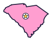
South Carolina is the Palmetto State (say south kair-uh-LY-nuh). The Civil War began at a fort in Charleston Harbor. Sea islands line its coast, and an old forest here is full of champion trees.
Quick answers
- Where is South Carolina?
- South Carolina is in the Southeast region of the United States. It touches two states: Georgia and North Carolina.
- What is the capital of South Carolina?
- Columbia. The biggest city is Charleston.
- Does South Carolina touch the ocean?
- Yes. South Carolina has a coast on the Atlantic Ocean.
- How big is South Carolina?
- 32,020 square miles. It’s the 40th biggest of the 50 states.
South Carolina at a glance
- Capital
- Columbia
- Nickname
- The Palmetto State
- Region
- Southeast in Map Otter. The US Census Bureau puts it in the South.
- Became a state
- May 23, 1788, one of the 13 original states (the 8th to approve the Constitution)
- Biggest city
- Charleston
- Size
- 32,020 square miles, the 40th biggest
- People
- About 5.6 million (2025), the 23rd most
- Neighbors
- Georgia and North Carolina
Where is South Carolina?
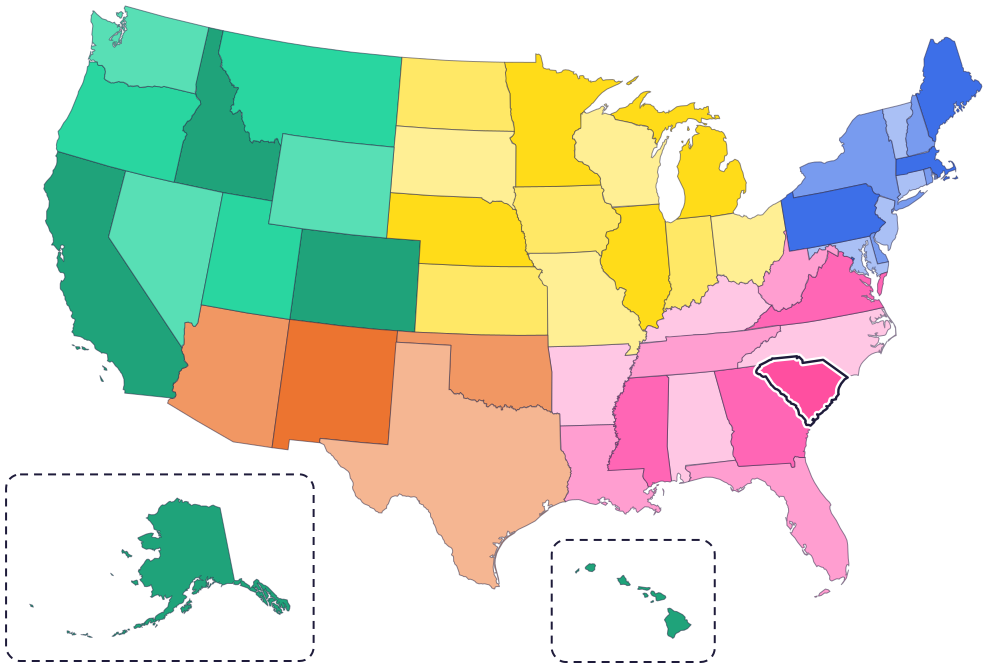
South Carolina is in the southeastern part of the country, on the Atlantic coast. It touches only two states: North Carolina to the north and Georgia to the southwest.
Rivers form its border with Georgia, mainly the Savannah River. To the southeast is the Atlantic Ocean, with beaches, salt marshes and sea islands.
Fun facts
- 1
Dolphins and sea turtles are state symbols here. The bottlenose dolphin is the state marine mammal, and the loggerhead turtle is the state reptile.
- 2
South Carolina has an official state color: indigo blue, the background of its flag.
- 3
The state snack food is boiled peanuts, the state dance is the shag, and the official hospitality drink is tea grown in South Carolina.
- 4
Gullah Geechee people, descendants of West and Central Africans who were enslaved on coastal plantations, live along the coast. They created Gullah, a language spoken nowhere else in the world.
- 5
Catawba potters shape every pot completely by hand, with clay dug from riverbanks. It’s a tradition about 4,000 years old.
Places to know
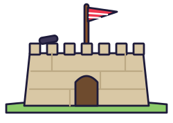
Fort Sumter
Charleston Harbor
The Civil War began here on April 12, 1861, when Confederate forces fired on the US Army’s fort. It sits on an island, so you can only get there by boat.
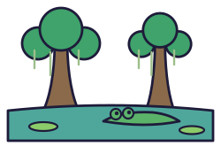
Congaree National Park
Near Columbia
The largest old-growth bottomland hardwood forest left in the Southeast. River floods feed some of the biggest trees of their kinds, called champion trees, and a boardwalk trail winds through the forest.

Charles Towne Landing
Charleston
English settlers landed here in 1670 and started the first permanent European settlement in South Carolina. You can board a copy of a 1600s sailing ship and see otters, bears and bison in the Animal Forest.
South Carolina long ago
Catawba people, who call themselves yeh is-WAH h’reh, “people of the river,” are living on their lands along the Catawba River. The Catawba Nation’s home is still there today, near Rock Hill.
English settlers land near today’s Charleston and start the first permanent European settlement in South Carolina.
On June 28, patriots in a fort built of palmetto logs and sand on Sullivan’s Island fight British warships for nine hours, and the ships have to pull back. The fort is later named Fort Moultrie.
On May 23, South Carolina approves the US Constitution. It is the eighth state to do so.
On April 12, Confederate forces fire on Fort Sumter in Charleston Harbor, and the Civil War begins. Charleston had led the push to leave the United States to keep slavery.
Black parents in Clarendon County had asked for a school bus, then went to court to end school segregation. Their case, Briggs v. Elliott, became part of Brown v. Board of Education, and on May 17 the Supreme Court ruled against school segregation.
State symbols
- State animalWhite-tailed deersince 1972
- State treePalmettosince 1939
- State reptileLoggerhead turtlesince 1988
- State dogBoykin spanielsince 1985
- State snack foodBoiled peanutssince 2006
Tricks to remember South Carolina
- Find the triangle. South Carolina is shaped like a triangle. The coast is one long side, and the other two sides meet at a point in the northwest.
- South is on the bottom. South Carolina sits right under North Carolina, just like the names say.
- C for Columbia, C for center. The capital is near the center of the state.
- Look at the flag. South Carolina’s flag has a palmetto tree and a crescent moon on indigo blue.
To practice, print a blank US map and color in South Carolina, or find it in the 50 states quiz. Then try today’s mystery state: guess it from its shape, with a clue after each miss.
Teaching all 50? Read how to teach kids the 50 states and what age kids learn the states and capitals, or follow our free 36-week homeschool geography plan.
South Carolina in Map Otter
In Map Otter, kids find South Carolina on the map, learn its capital, and collect its stamp in their passport, with Otto guiding the way. These screenshots show how it looks with a few example states.



Map Otter is coming soon to iPhone, iPad, Android phones and tablets, and Chromebooks.
Questions kids ask
What is the capital of South Carolina?
Columbia, near the middle of the state.
Why is South Carolina called the Palmetto State?
For the palmetto, its state tree. In 1776, patriots in a fort built of palmetto logs fought off British warships near Charleston.
Where did the Civil War start?
At Fort Sumter, in Charleston Harbor, on April 12, 1861.
Is Charleston the capital of South Carolina?
No, Columbia is. Charleston is the biggest city. The capital of West Virginia is also called Charleston.
Where these facts come from
- South Carolina Code of Laws, Title 1, Chapter 1: state emblems
- National Park Service: Fort Sumter and Fort Moultrie
- National Park Service: Fort Moultrie history
- National Park Service: Congaree National Park
- South Carolina State Parks: Charles Towne Landing
- National Park Service: Gullah Geechee Cultural Heritage Corridor
- Catawba Nation: about the Nation
- National Park Service: Briggs v. Elliott
- National Park Service: Brown v. Board of Education
- US Senate Manual: ratification of the Constitution by the 13 original states
- US Census Bureau: state area measurements
- US Census Bureau: state population estimates, 2020 to 2025
- US Census Bureau: city and town population estimates, 2020 to 2025
- US Senate Manual: states admitted into the Union
- US Census Bureau: census regions and divisions
- NOAA Office for Coastal Management: shoreline mileage of the United States
